“It is so lovely out this evening. There is a wonderful cool breeze coming in through the tent door. I watched the sunset from the comfort of my bug-free zone…I hope the breeze continues. The sound through the pines is wonderfully soothing. Every once in a while on this trip I have gotten a whiff of fall – this is one of those times. Perhaps it is because I’m inches from the ground, but I can smell autumn leaves.” Anna, last night of SHT Thru Hike, 2013

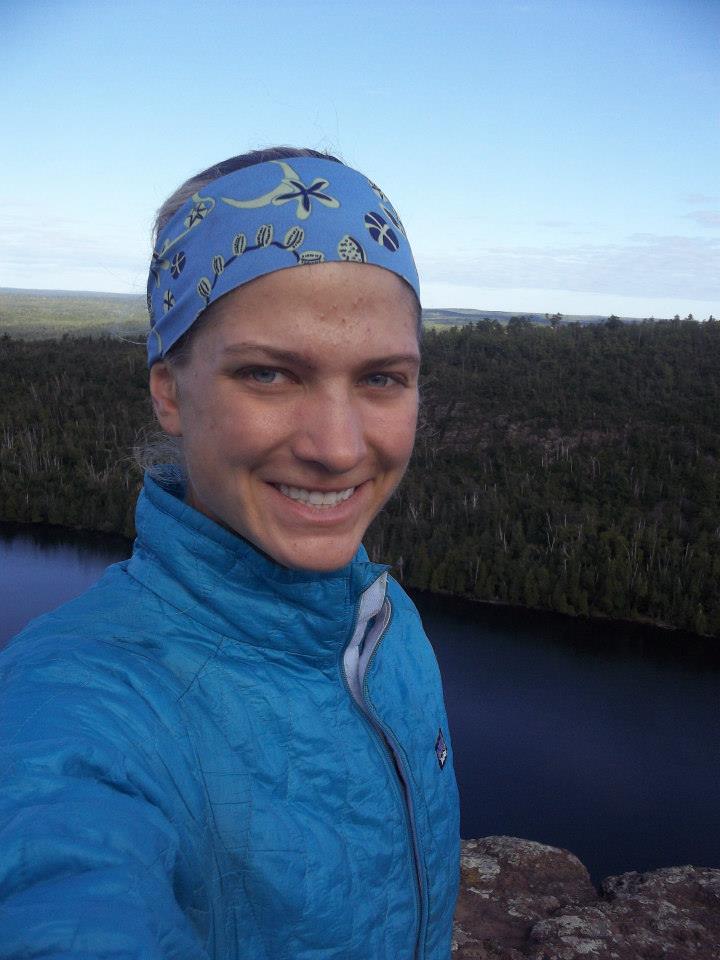
Recently I was going through some old things and I came across the journal that I kept while attempting my first solo long-distance trail: The 300 ish mile Superior Hiking Trail (SHT) here in Minnesota. For those who might not know, thru hiking (or through hiking) is when a person hikes from one end of a trail to the other, all in one continuous trip.

The SHT had been on my “maybe I’ll do this someday” list for years, but it wasn’t until I found myself at the Nantahala Outdoor Center in North Carolina early in the summer of 2013 that I finally decided to do it. The Appalachian Trail runs through that area, and as I hung out there for the week I saw hiker upon hiker walk through on their trips towards Maine. It was romantic to think of travel like that, to only have the gear on your back and just relying on your own two feet to get you to a far away destination, so when I got home I started crunching the numbers and preparing for my own “little” thru hike on our prime local trail.

I didn’t really know what I was doing, but I was determined to figure it out. I read quite a bit about gear, nutrition, reducing pack weight, and physically preparing. I came up with a plan for resupply and packed boxes to mail to myself via general delivery. I assessed my gear and decided it was “good enough” (even though now I’m a little in awe of the heavy-ish gear I carried that whole way). To train I walked loops with my pack around the bluff trail in my home town. I experimented with making my own stoves – after a “twiggy” stove I tried to make out of some cans wasn’t working, I settled on an alcohol stove I made out of some pop cans.

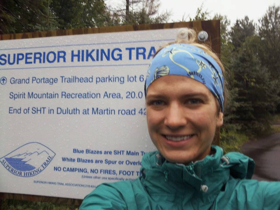
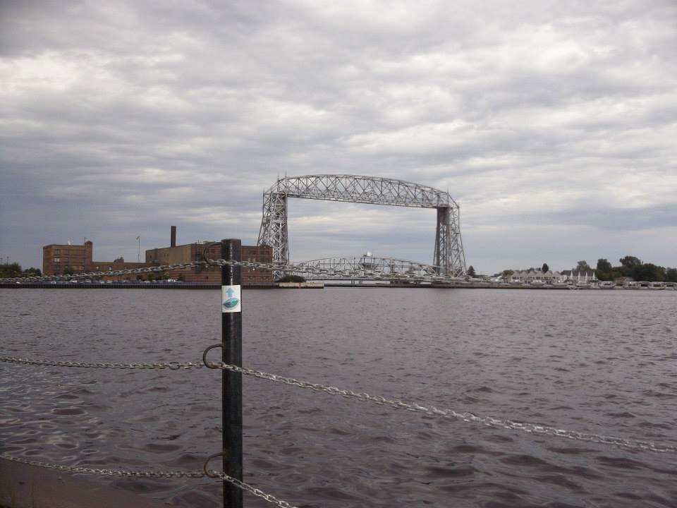
Finally, I was as ready as I would ever be. I mailed my two resupply boxes with the estimated arrival dates to a couple of towns along the way and drove up to Duluth. The Superior Hiking Trail at the time started a bit south of Duluth before heading through the town itself and then the rest of the way up the north shore of Lake Superior to an overlook with Canada. Duluth posed a logistical challenge – at that time there was very few camping options within the city, so my plan was to camp at the one paid campground and just hike the rest of the way out of town (25+ miles) … and just figure it out.

To add complication to this whole project was the fact I needed to leave my car somewhere. I had planned to park it at the state park that was the southern terminus at the time, since I had left my car at the state parks many times for shorter trips. When I checked in with the rangers and asked them where I should park it they balked – wait, how long? Three weeks? No, you can’t park here that long.

This was the day before I planned to start hiking.

Instead, they sent me to the local sheriff’s department to ask them what I should do. Long story short, a couple hours later I had parked my car at a park-and-ride off the freeway and had six miles of road walking to get myself back to the state park. My adventure was not quite starting as planned.

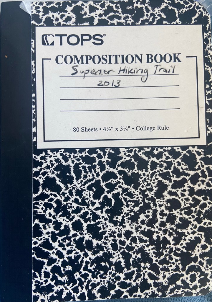
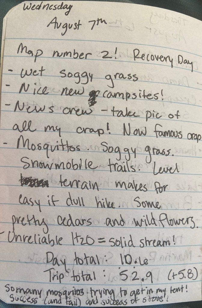
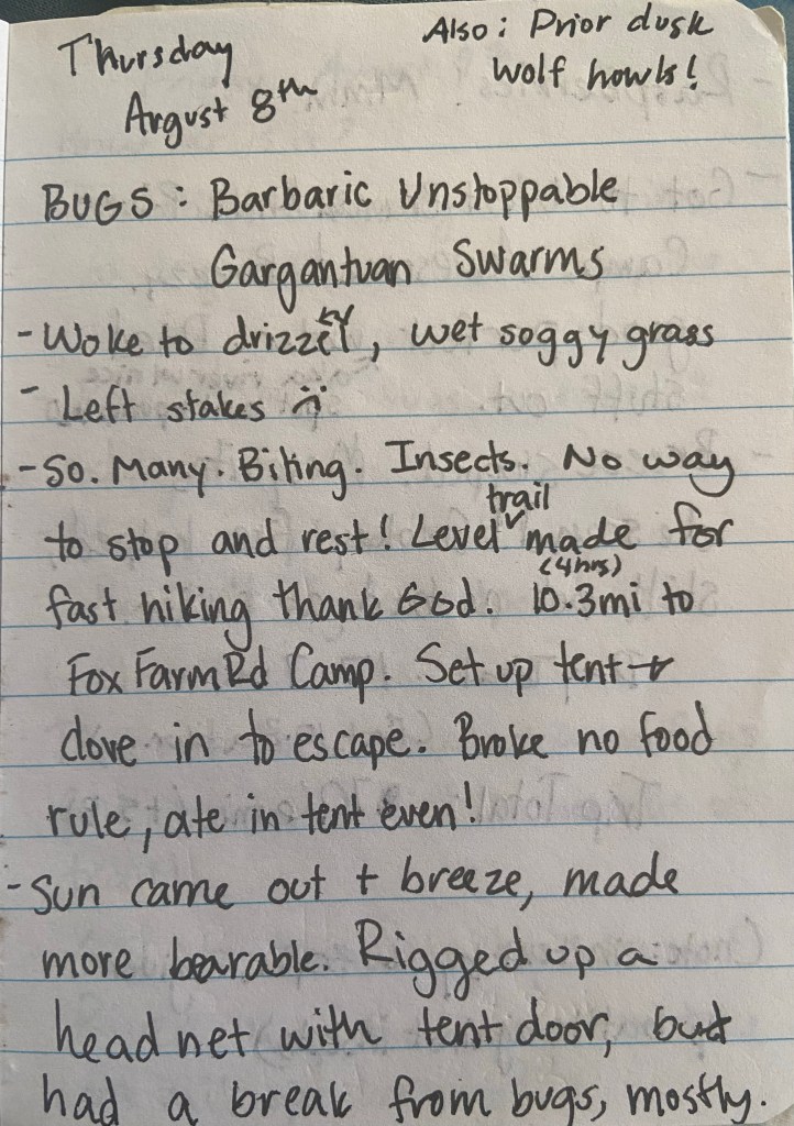
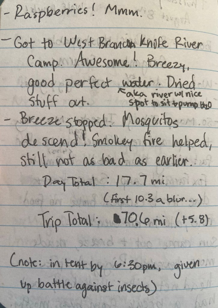
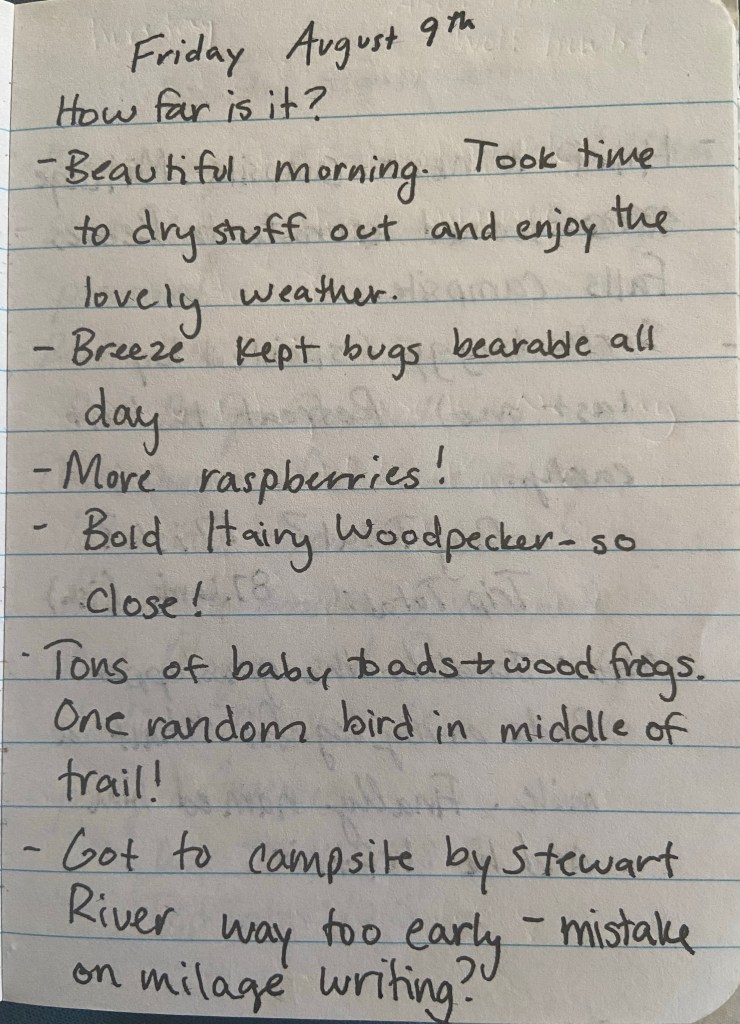
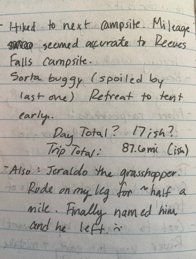
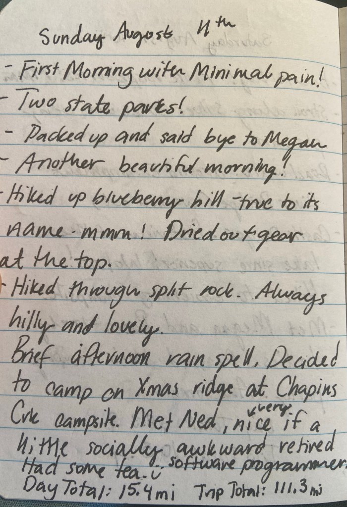
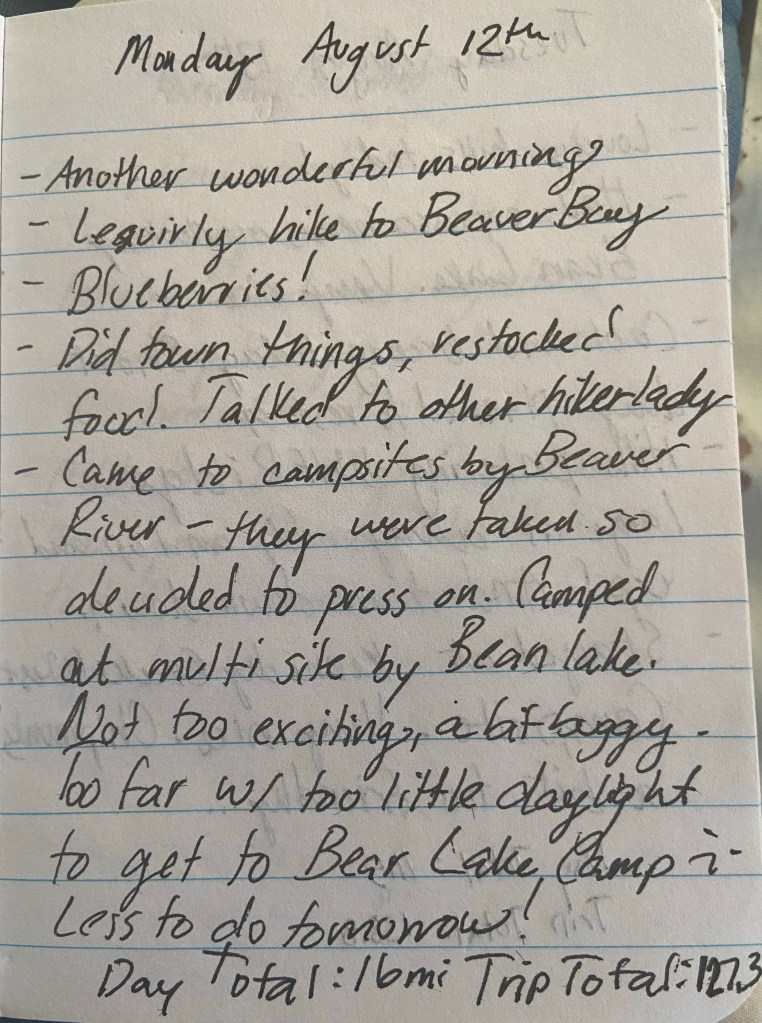
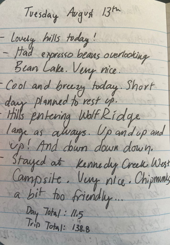
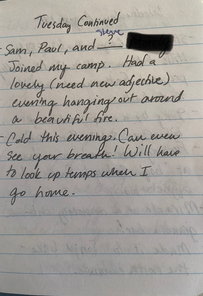
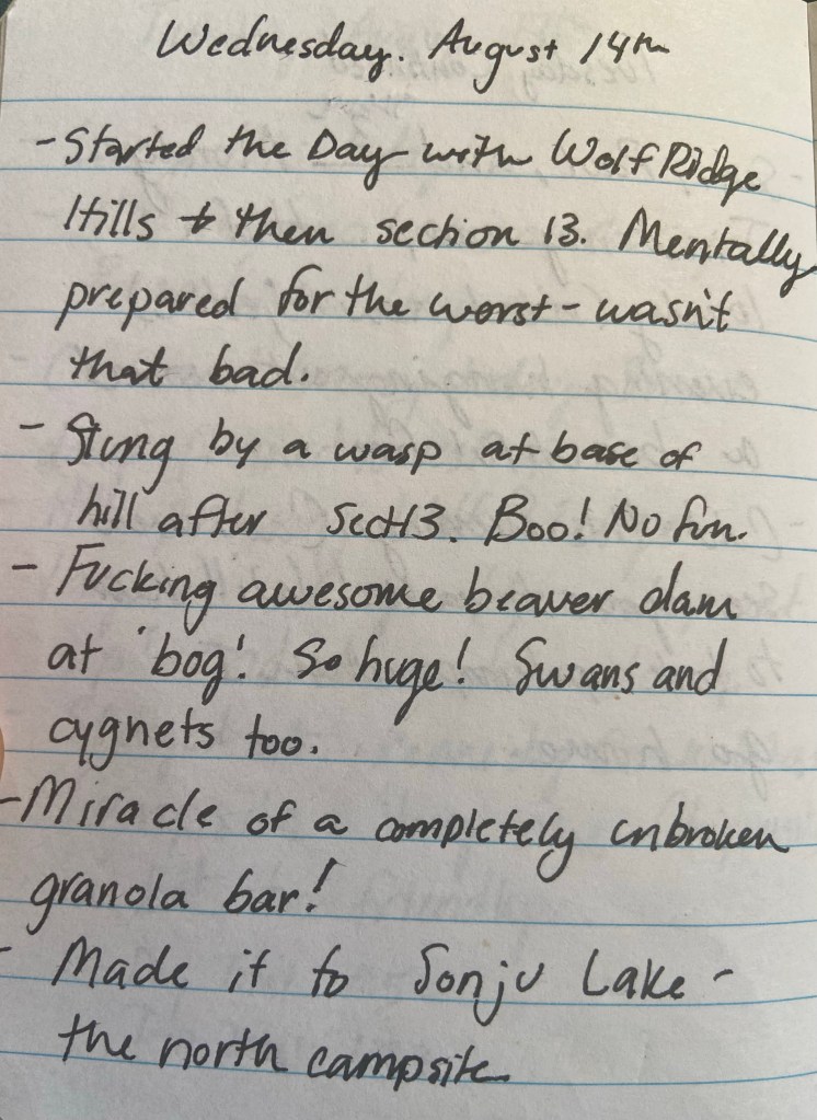
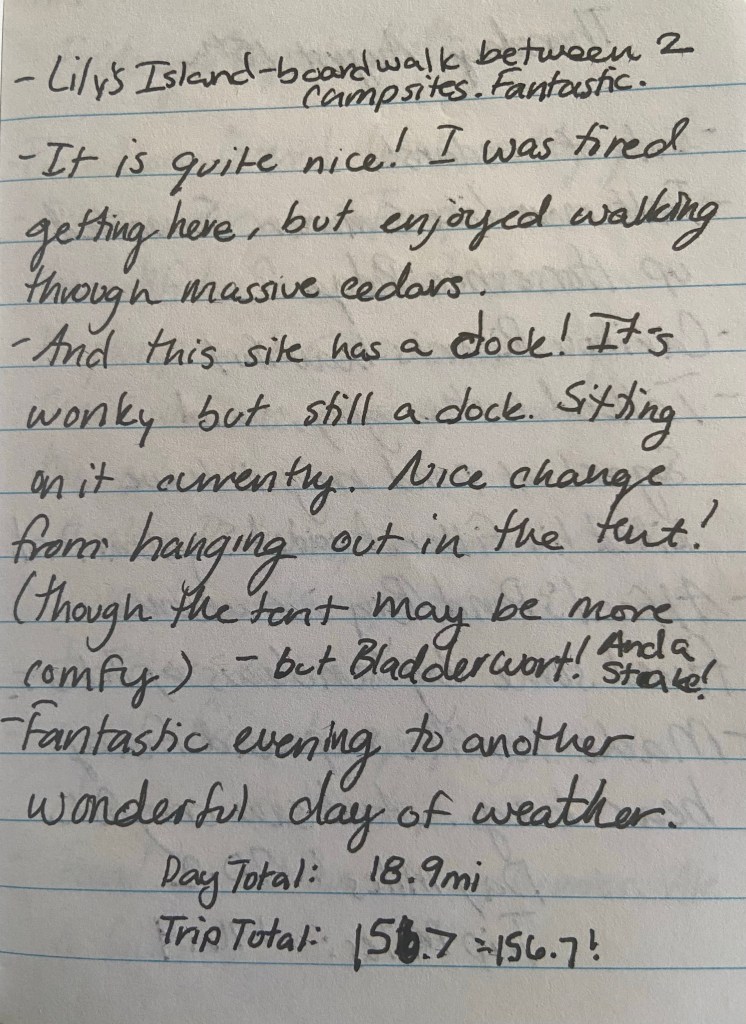
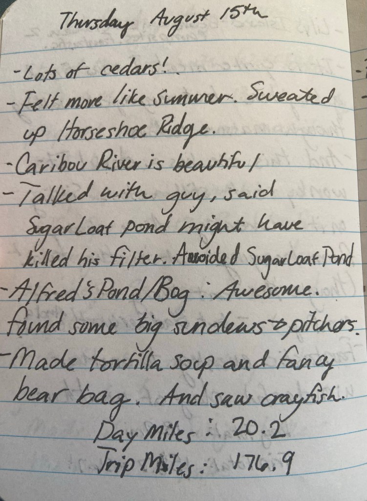
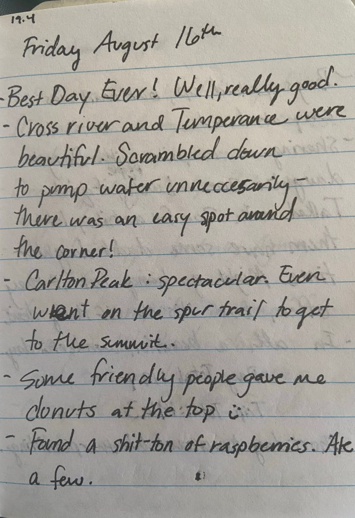
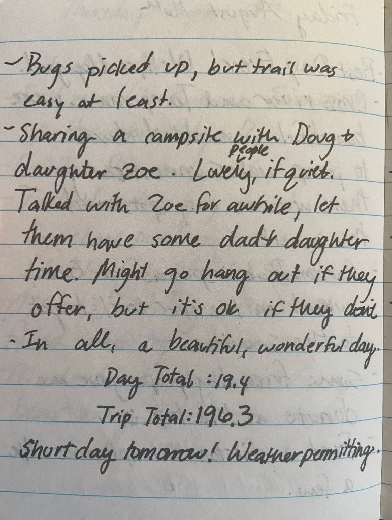
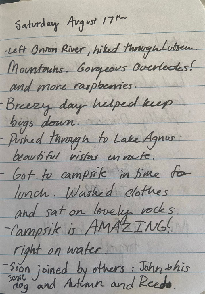
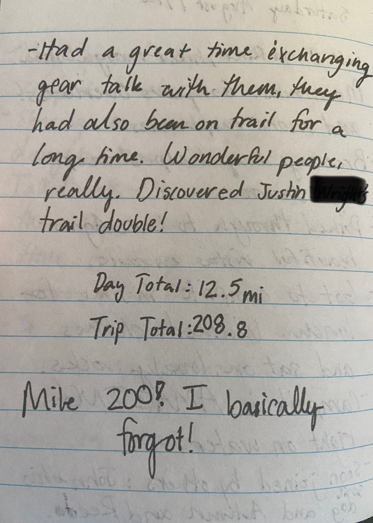
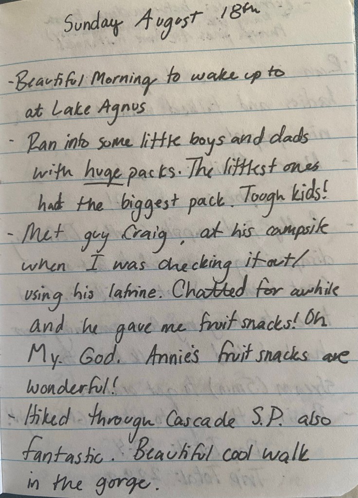
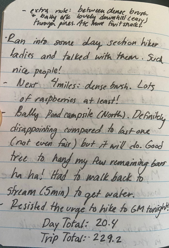
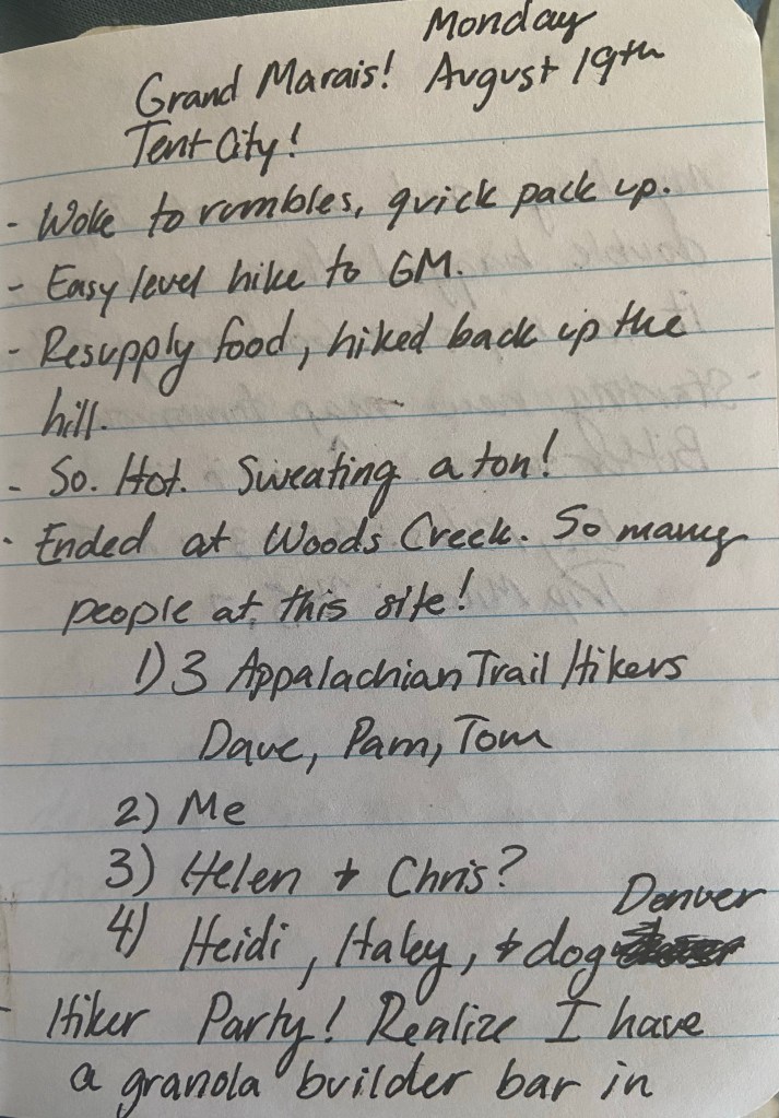
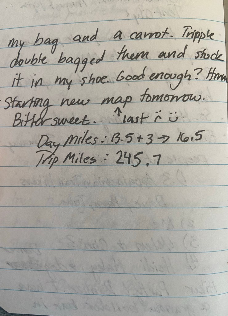
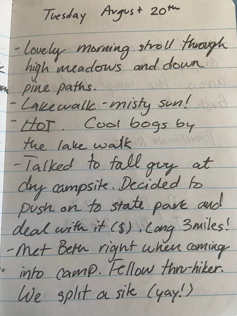
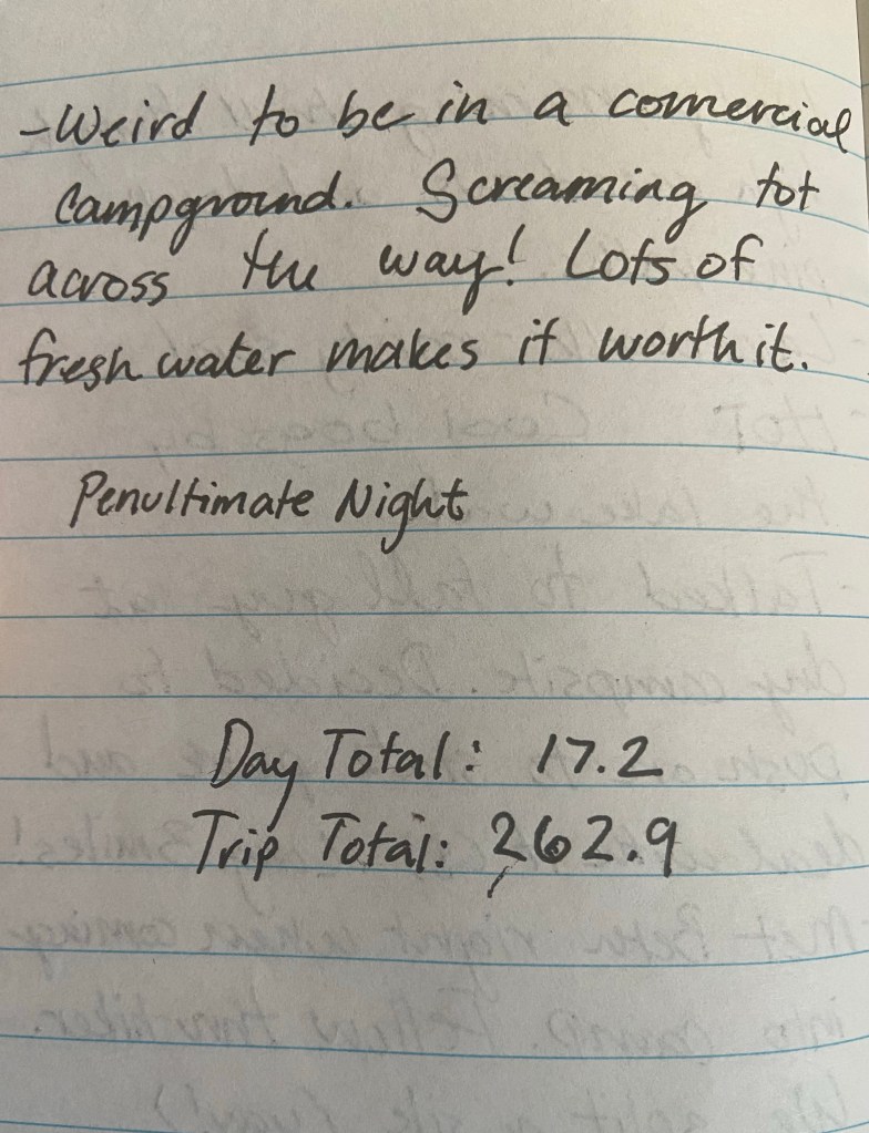
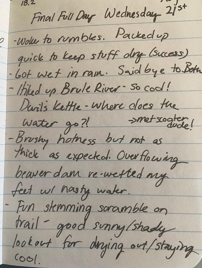
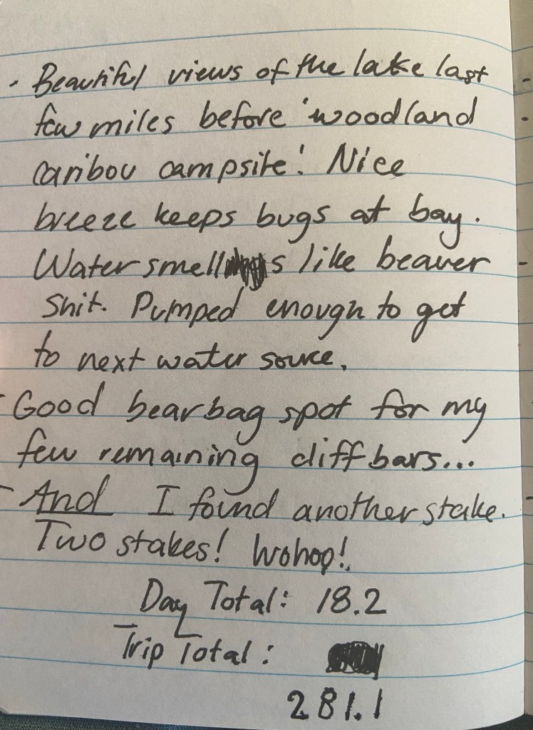
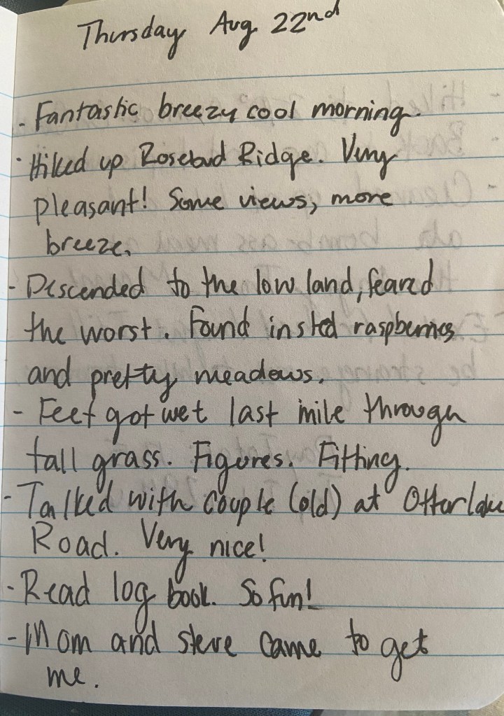
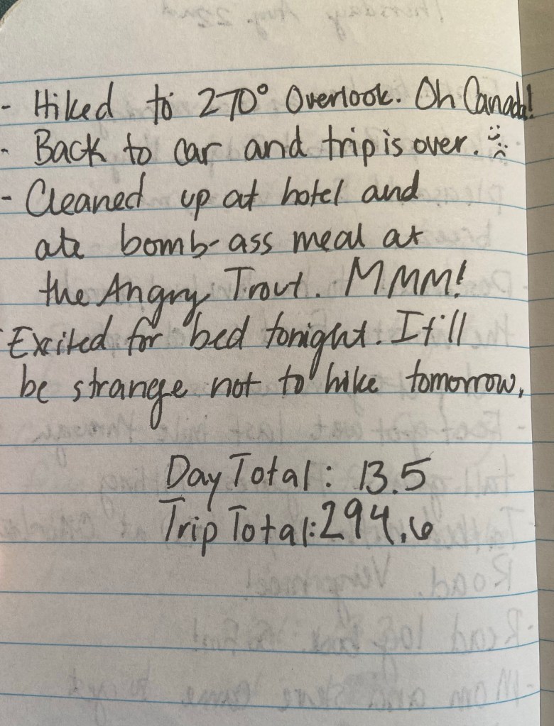
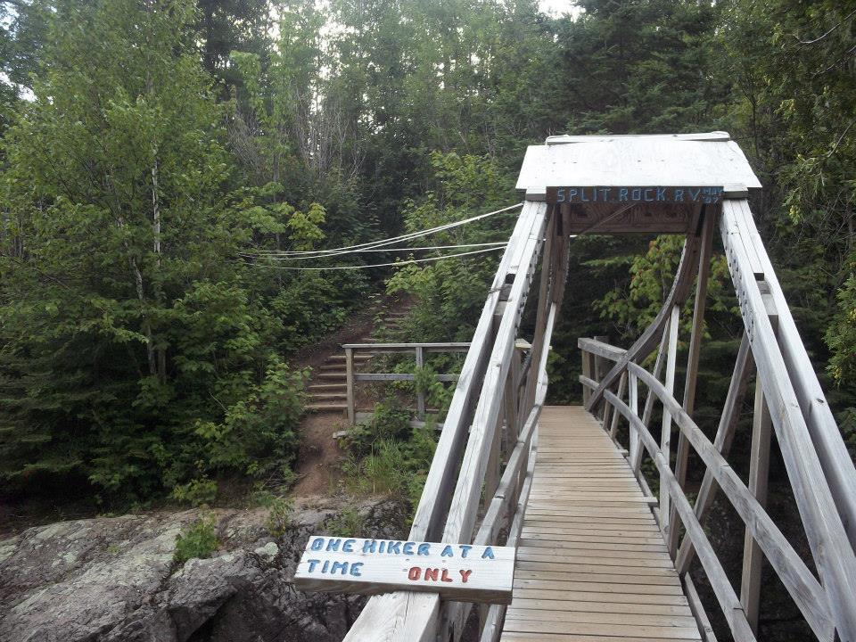
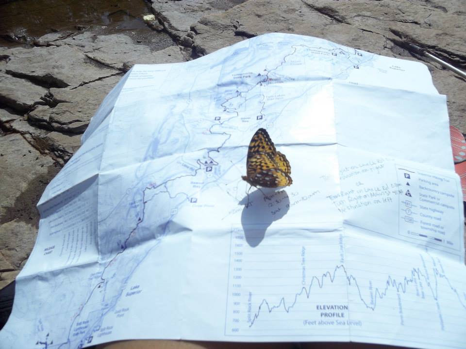
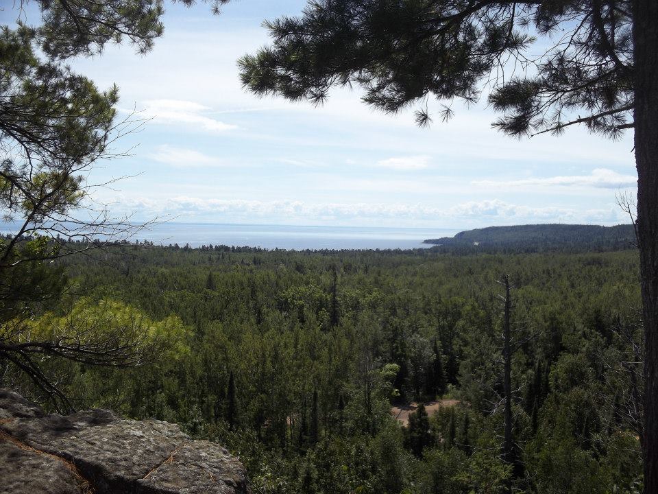
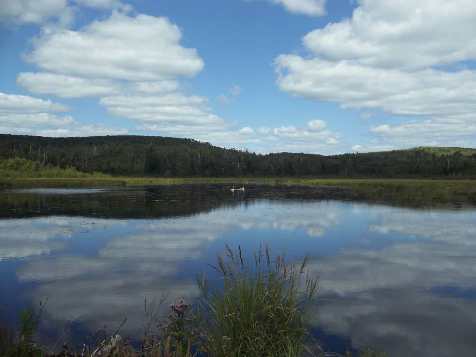
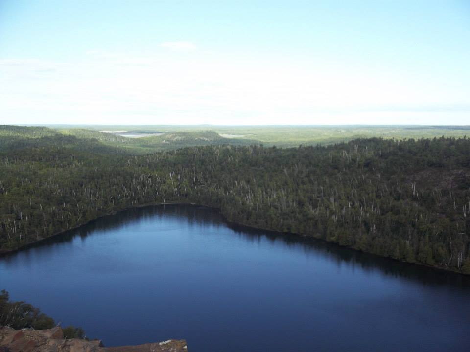
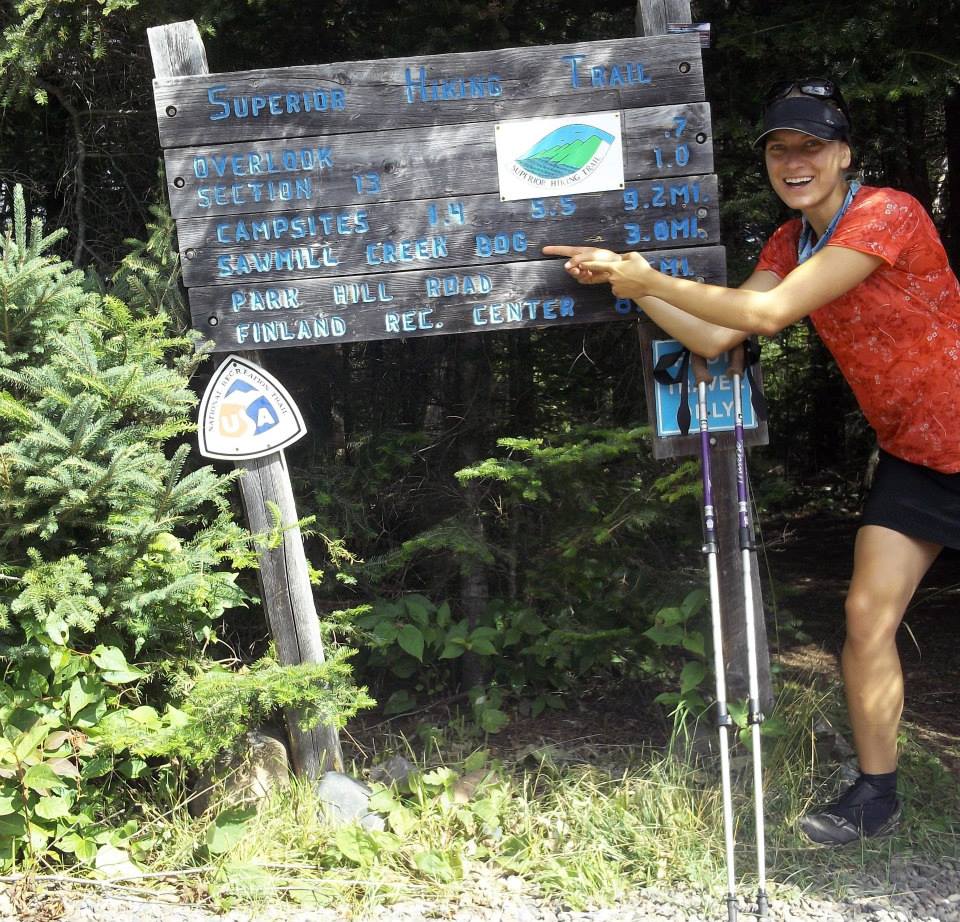
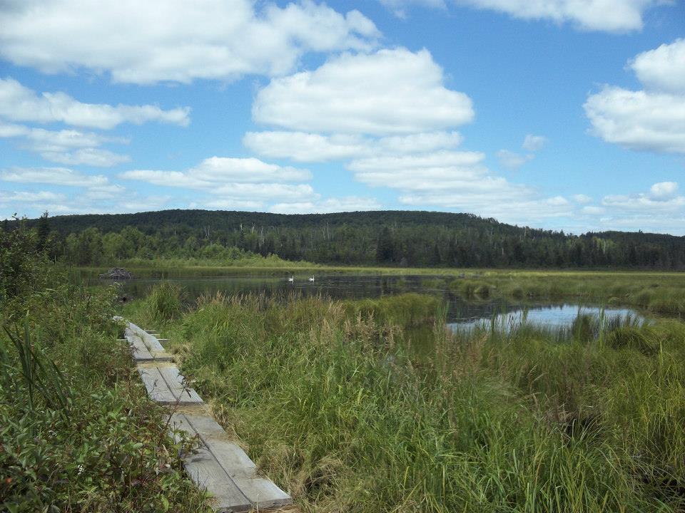
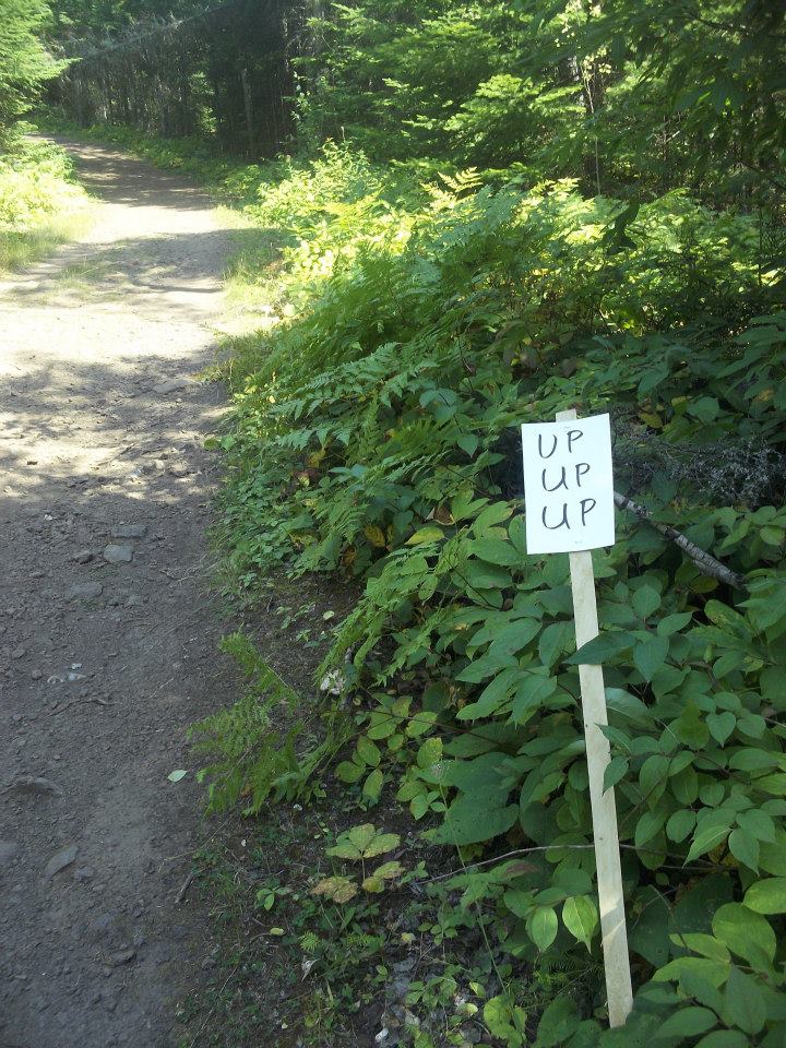
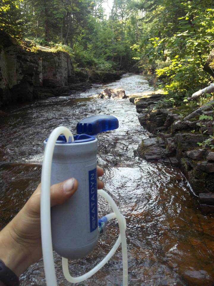
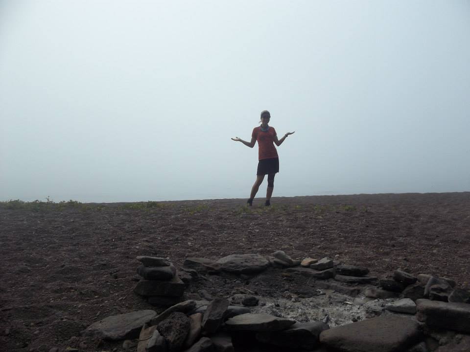
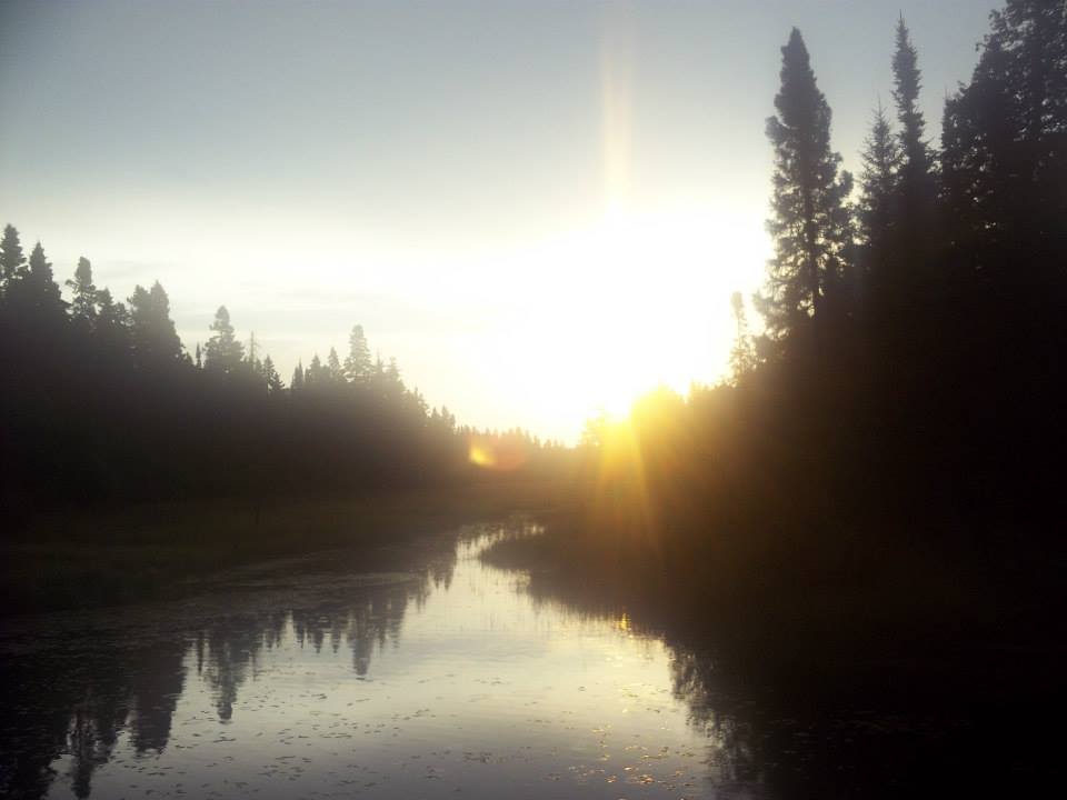
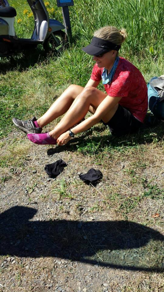
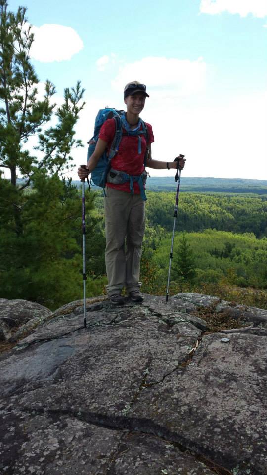
Following are some shots of my journal of my adventure – I included alternate texts if the photos aren’t clear. My journal for this trip was more a list of happenings (also content warning, there is the occasional swear word). Many entries probably don’t make a whole lot of sense to anyone but me, but I certainly had a good time reading them as I put this together! If you don’t have time to flip through, I’ve included a summary of the trip below.

  • The cover of a small notebook with title "Superior Hiking Trail 2013."
  • Monday August 5th. Start of the hike. Woke to drizzel. Begin. Lady on Tar Path. Ely's Peak. Spirit Mountain Campground. Talked to Nice young-old man. Trip total 17.5 miles (+5.8)
  • Tuesday August 6th. Duluth Madness. Damp am. Creepy murder of crows! Swooping all round. At least 30! Haines road construction - lost trail? Maybe? Nope. Lake walk thru-hike canadians. Burrito Union! Utter pain...but nice. Martin Road! Sneaky Campsite. Day total 24.8miles, trip total 42.3 miles.
  • Wednesday August 7th. Map number 2! Recovery day. Wet Soggy grass. Nice new campsites! News Crew - take pic of all my crap! Now famous crap. Mosquitoes. Soggy Grass. Snowmobile Trails. Level terraine makes for easy if dull hike. Some pretty cedars and wildflowers. Unreliable H20= solid stream! Day total 10.6 miles, trip total 52.9 miles (+5.8). So many mosquitoes trying to get into my tent! Success (and fail) and success of stove!
  • Thursday August 8th. BUGS: Barbaric Unstoppable Gargantuan Swarms. Woke to drizzel. Wet, soggy grass. Left stakes. So. Many. Biting. Insects. No way to stop and rest! level trail made for fast hiking thank God. 10.3 miles in 4 hrs to Fox Farm Rd Camp. Set up tent and dove in to escape. Broke no food rule, even ate in tent! Sun came out and breeze, made more bearable. Rigged up a head net with tent door, but had a break from bugs, mostly. Also prior to dusk wolf howls!
  • Raspberries! Mmm. Got to West Branch Knife River Camp. Awesome! Breezy, good perfect (aka river with nice spot to sit and pump H2O) water. Dried stuff out. Breeze stopped. Mosquitoes descend! Smokey fire helped, still not as bad as earlier. Day total 17.7 miles (first 10.3 a blur..) trip total 70.6 mi (+5.8). Note: in tent by 6:30pm, given up battle against insects).
  • Friday August 9th. How far is it? Beautiful morning. Took time to dry stuff out and enjoy the lovely weather. Breeze kept bugs bearable all day. More raspberries! Bold hairy woodpecker - so close. Tons of baby toads and wood frogs. One random bird in the middle of the trail. Got to campsite by Steward River way too early - mistake on mileage writing?
  • Hiked to next campsite. Mileage seemed accurate to Reeves Falls Campsite. Sorta buggy (spoiled by last one). Retreat to tent early. Day total? 17ish? Trip Total 87.6ish. Also Jeraldo the grasshopper rode on my leg for approximately half a mile. Finally named him and he left :(
  • Saturday August 10th. Beautiful Day! More raspberries. Mmm. Stroll along Silver Creek was very pleasant. Road walk around Encampment River Bridge (washed out). Castle Danger: first views of the lake since Duluth! Wohoo! HIked to Gooseberry Campsite. Met Megan and Raca - lovely ladies. Crashed their camping party. Awesome. Day total: 18.3, trip total 105.9 miles
  • Sunday August 11th, First morning with minimal pain! Two state parks! Packe up and said bye to Megan. Another beautiful morning. Hiked up blueberry hill - true to it's name mmm! Dried out gear at the top. Hiked through Split Rock. Always hilly and lovely. Brief afternoon rain spell, decdied to camp on Xmas ridge at Chapins Creek Campsite. Met Ned, very nice if a little socially awkward retired softward programmer. Had some tea. Day total 15.4 mi, trip total 111.3 mi
  • Monday August 12th. Another wonderful morning. Lesiurely hiked to Beaver Bay. Blueberries! Did town things, restocked food. Talked to other hiker lady. Came to campsites by Beaver River - they were taken so decided to pass on. Camped at multisite by Bean lake. Not too exciting, a bit buggy. Too far with too little daylight to get to Bear Lake Camp :( Less to do tomorrow. Day total 16 mile, Trip total 127.3 mile
  • Tuesday August 13th. Lovely Hills today! Had expresso beans overlooking Bean Lake. Very NIce. Cool and Breezy today. Short day planned to rest up. Hills entering Wolf Ridge large as always. Up and up and up! And down down down. Stayed at kennedy Creek West Campsite. Very nice. Chipmunks a bit too friendly. Day total 11.5, trip total 138.8
  • Tuesday continued. Sam, Paul, and Steve joined my camp. Had a lovely (need new edjective) hanging out around a beautiful fire. Cold this evening. Can even see your breath! Will have to look up temps when I go home.
  • Wednesday August 14th. Started the day with Wolf Ridge Hills and then Section 13. Mentally prepared for the worst - wasn't that bad. Stung by a wasp at the base of the hill after Section 13. Boo! No fun! Fucking awesome beaver dam at "bog." So huge! Swans and cygnets too. Miracle of a completly unbroken granola bar! Made it to Sonju Lake - the north campsite.
  • Lily's Island - boardwalk between 2 campsites. Fantastic. It is quite nice! I was tired getting here but enjoyed walking through massive cedars. And this site has a dock! It's wonky but still a dock. Sitting on it currently. Nice change from hanging out in the tent (though the tent may be more comfy). - but Bladderwort! and a Stake! Fantastic evening to another wonderful day of weather. Day total 18.9 miles trip total 156.7 miles
  • Thursday August 15th. Lots of cedars! Felt more like summer. Sweated up Horseshoe Ridge. Caribou River is beautfiul. Talked with guy, said SugarLoaf Pond might have killed his filter. Avoided Sugar Loaf Pond. Alfred's pond/Bog: Awesome. found some big sundews and pitcher plants. Made tortilla soup and fancy bearbag. And saw crayfish. Day miles 20.2, trip miles 176.9.
  • Friday August 16th. Best Day Ever! Well, really good. Cross river and Temperance were beautiful. Scrambled down to pump water unneccesarily - there was an easy spot around the corner. Carlton Peak: spectacular. Even went on the spur trail to get to the summit. Some friendly people gave me donuts at the top :) Found a shit-ton of raspberries. Ate a few.
  • Bugs picked up, but trail was easy at least. Sharing a campsite iwth Doug and daughter Zoe. Lovely people, if quiet. Talked with Zoe for a while, let them have some dad and daughter time. Might go hang out if they offer but it's ok if they don't. In all, a beautiful, wonderful day. Day total 19.4, trip total 196.3. Short Day tomorrow! Weather permitting.
  • Saturday August 17th. Left Onion River, hiked through Lutsen Mountains. Gorgeous Overlooks! and more raspberries. Breezy day helped keep bugs down. Pushed through to Lake Agnus - beautiful vistas en route. Got to campsite in time for lunch. Washed clothes and sat on lovely rocks. Campsite is AMAZING! right on the water. Soon joined by others: John and his dog and Autumn and Reed.
  • Had a great time exchanging gear talk with them, they had also been on trail for a long time. Wonderful people, really. Discovered Justin's trail double! Day total 12.5, Trip total 208.8 miles. Mile 200! I basically forgot!
  • Beautiful Morning to wake up to at Lake Agnus. Ran into some little boys and dads with HUGE packs. The littlest one had the biggest pack. Tough kids! Met guy Craig at his campsite when I was checking it out/using his latrine. Chatted for a while and he gave me fruit snacks! Oh. My. God. Annie's fruit snacks are wonderful. Hiked through Cascade S.P. also fantastic. Beatifuul cool walk in the gorge.
  • Ran into some day section hiker ladies and talked with them. Such nice people! Next 4 miles: dense brush. Lots of raspberries at least! Bally Pond Campsite (north). Definitely disappointing compared to the last one (not even fair) but it will do. Good tree to hang my few remaining bars ha ha! Had to walk back to the stream (5 mins) to get water. Resisted the urge to hike to GM tonight! Day total: 20.4, trip total 229.2 miles
  • Monday August 19th. Grand Marais! Tent City! Woke to rumbles, quick pack up. Easly level hike to GM. Resupply food, hiked back up the hill. So. Hot. Sweating a ton! Ended at Woods Creek. So many people at this site! 1) 3 Appalachian Trail Hikers Dave, Pam, Tom; 2) Me 3) Helen and Chris 4)Heidi, Haley, and dog Denver, 5) another duo. HIker party! Realize I have a granola builder bar in
  • my bag and a carrot. Tripple doubled bagged them and stuck them in my shoe. Good enough? Hmm. Starting new map tomorrow (the last one). Bittersweet. Day miles 16.5, trip miles 245.7
  • Tuesday August 20th. Lovely morning stroll through high meadows and down pine paths. Lake walk- misty sun. Hot! Cool bogs by the lakewalk. Talked to a tall guy at dry campsite. Decided to push on to the state park and deal with it ($). Long 3 miles! Met Beth right when coming into camp. Fellow thru-hiker. We split a site (yay)!
  • Weird to be in a commerical campground. Screaming tot across the way. Lots of freshwater makes it worth it. Penultimate Night. Day total 17.2 , trip total 262.9 miles.
  • Final full day. Wednesday August 21st
  • Beautiful views of the lake last few miles before woodland caribou campsite. Nice breeze keeps bugs at bay. Water smells like beaver shit. Pumped enough to get to next water source. Good bearbag spot for my few remaining clif bars. AND I found another stake. Two stakes! Wohoo! Day total 18.2, trip total 281.1miles
  • Thursday Aug 22nd. Fantastic breezy cool morning. Hiked up Rosebud Ridge. Very pleasant! Some views, more breeze. Descended to the low land, feared the worst. Found instead raspberries and pretty meadows. Feet got wet last mile through tall grass. Figures. Fitting. Talked with older couple at Otter Lake Road. Very nice! Read log book. So fun! Mom and Steve came to get me.
  • HIked to 270 degree overlook. Oh Canada! Back to car and trip is over. Cleaned up at hotel and ate a bomb-ass meal at the Angry Trout. MMM! Excited for bed tonight. It'll be strange not to hike tomorrow. Day total 13.5, trip total 294.6 miles

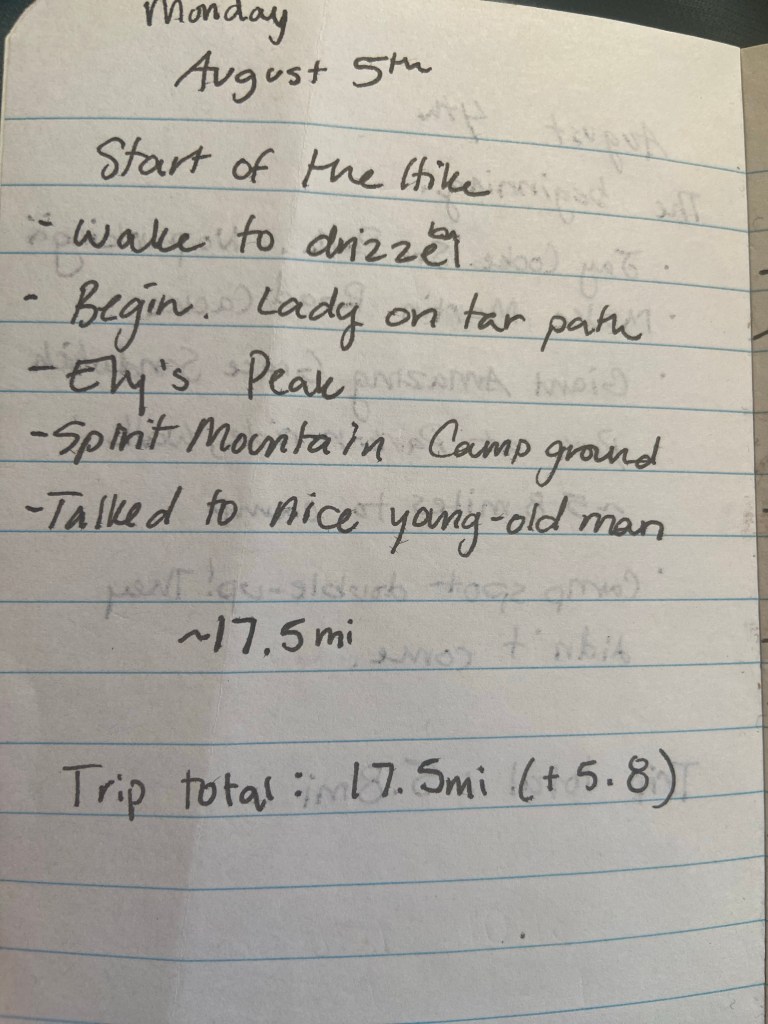
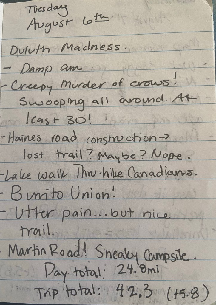
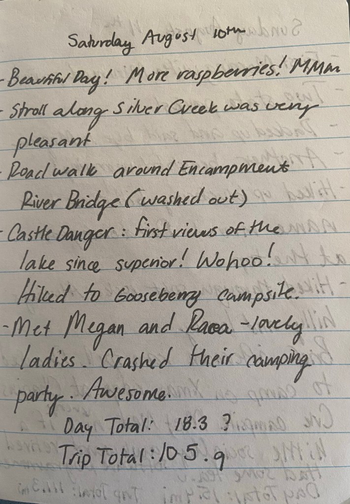
Some key points about my experience: the first week was really rough. It was physically and mentally challenging. Not only were a couple of the days really long mileage-wise, but I also got pretty soaked and eaten alive by mosquitoes and biting flies every day. However, my trip took a major upswing after I got to Castle Danger/Gooseberry, and while I still was nearly at my limit physically and mentally, I found my stride after that point.

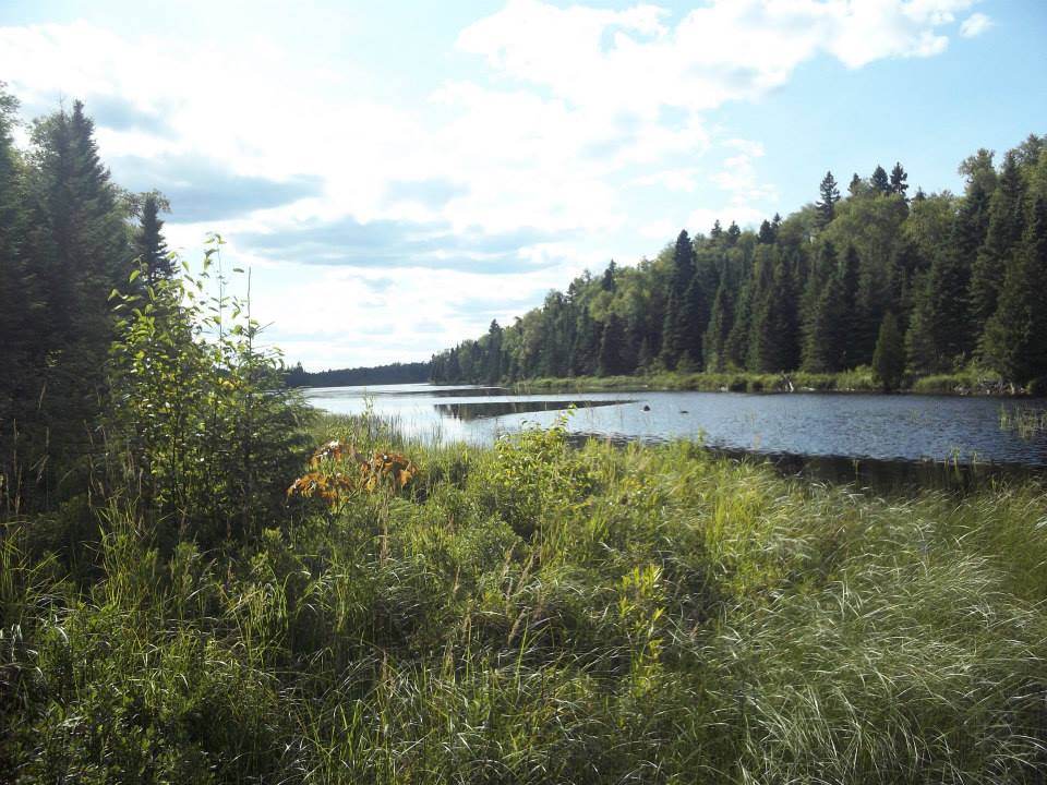
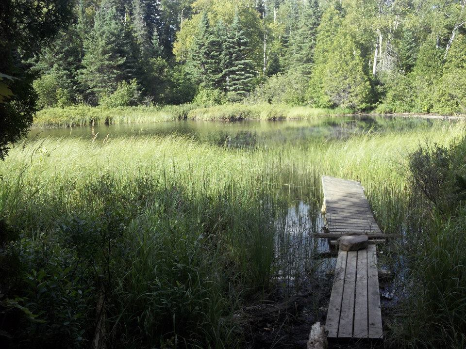
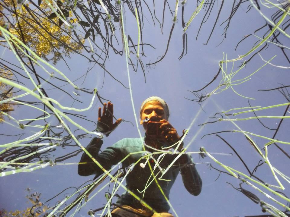
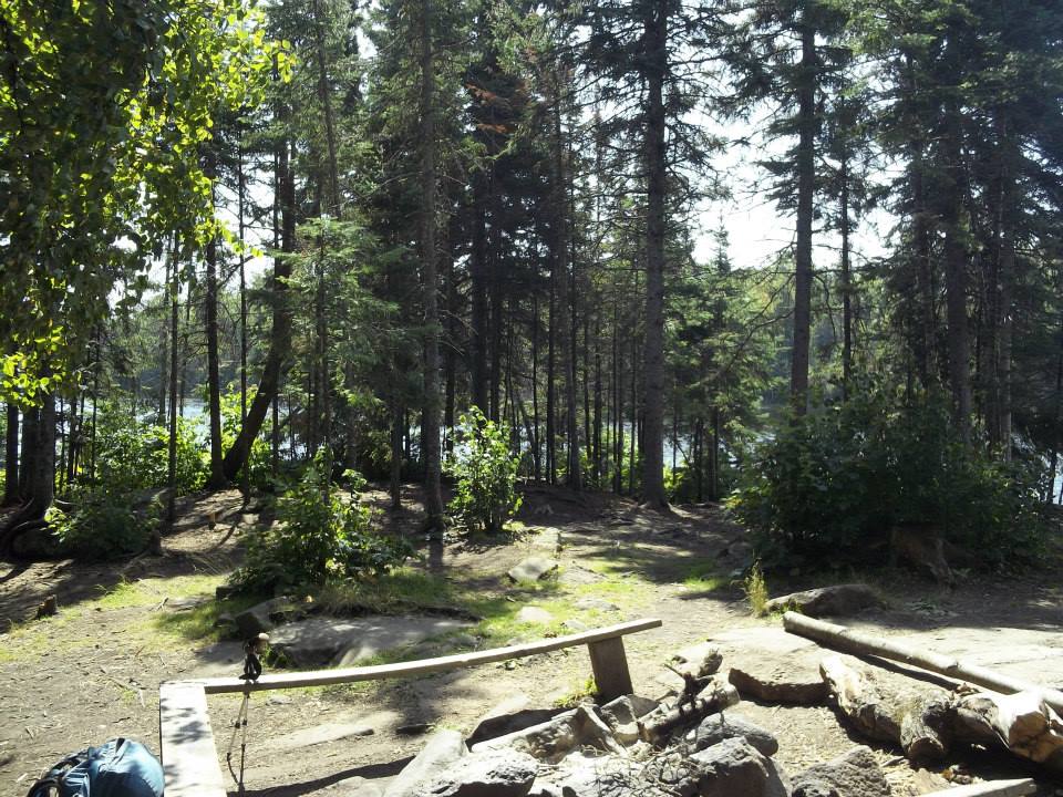
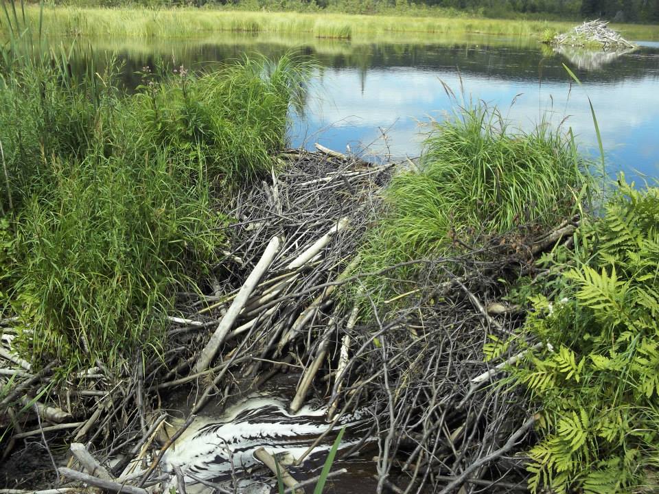
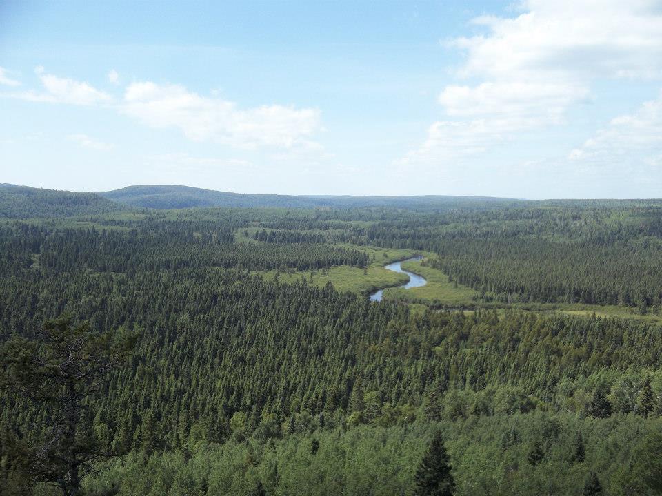
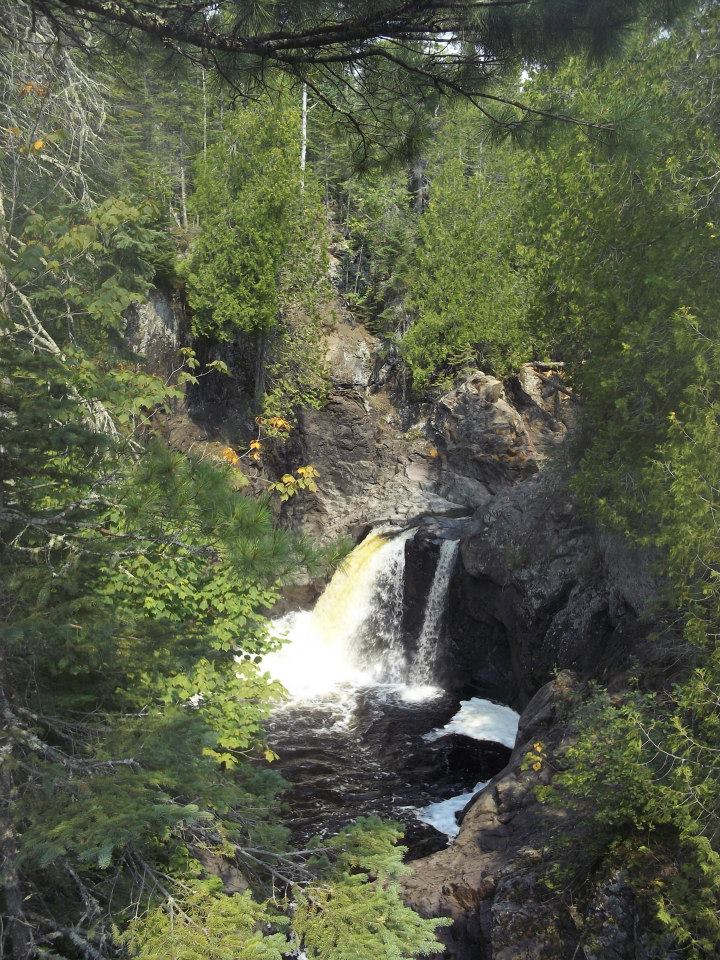
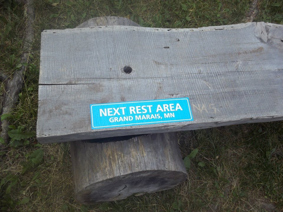
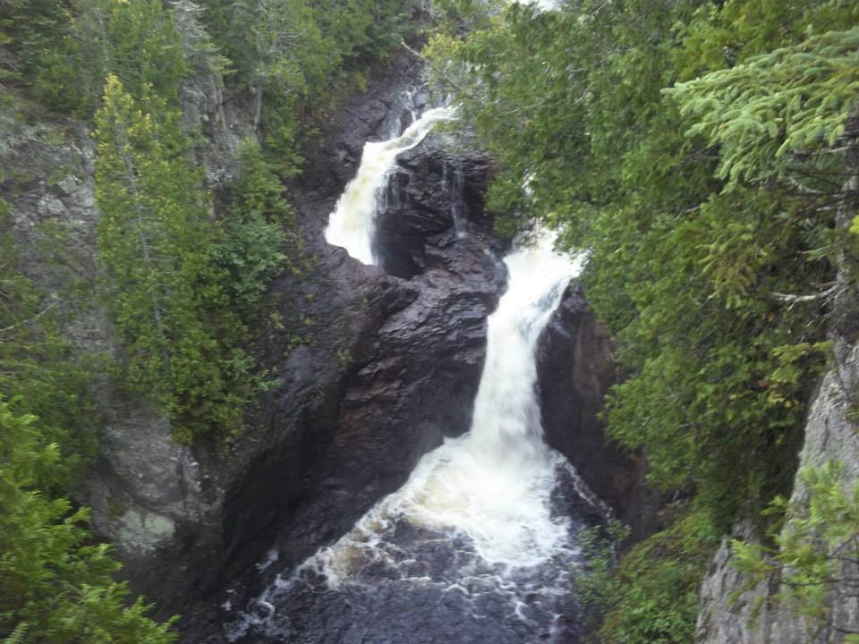
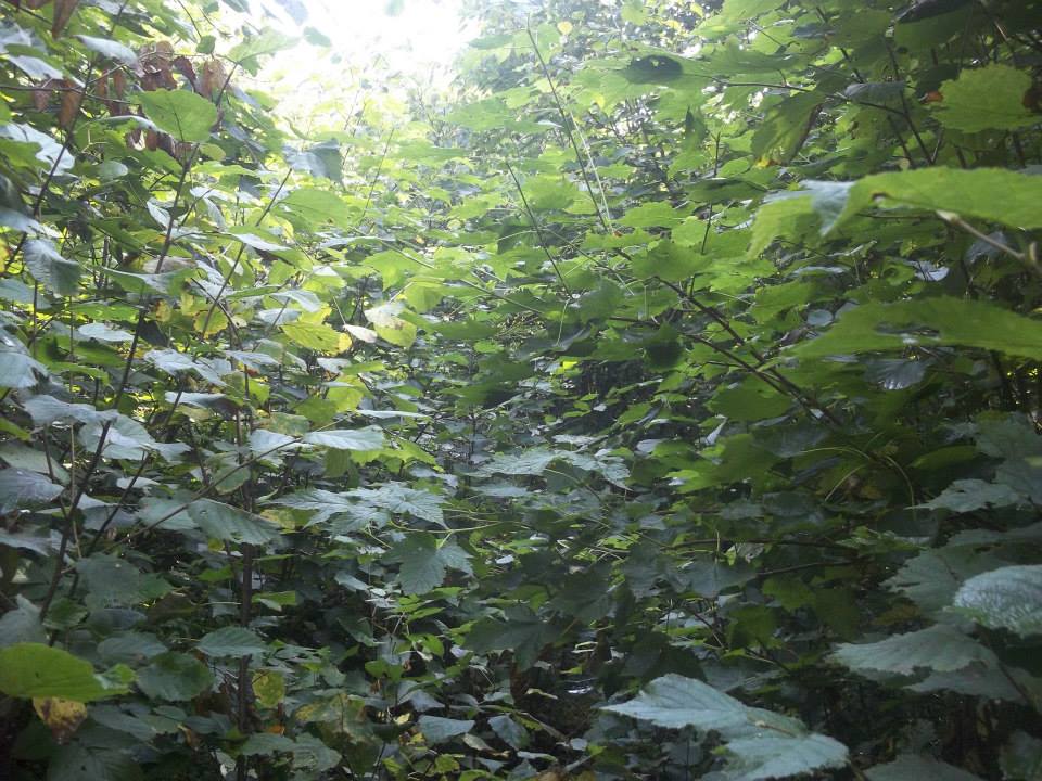
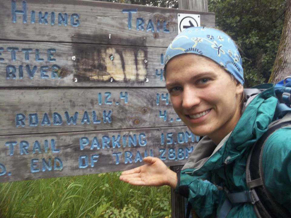
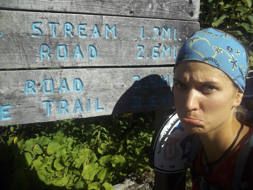
Here are pictures of my journey. They are mostly in order. Apologies in advance for the low picture quality!

  • Anna in front of a Superior Hiking Trail sign at the southern terminus of the trail.
  • A picture of the Duluth Lift Bridge with a SHT sign in the foreground.
  • A bridge over the Split Rock River that is listing heavily to one side. There is a sign that says "one hiker at a time only" on it.
  • A picture of a map with a butterfly on it. There is an elevation profile on the map showing a lot of elevation change.
  • A view of Lake Superior from an overlook.
  • A picture of two swans swimming on a lake, with clouds reflecting in the water.
  • A picture of a lake from an overlook.
  • A picture of some boardwalk boards on a beaver dam, with some swans in the lake behind.
  • A picture of a lake with a beaver dam covered in grass in the foreground.
  • Wonky dock at a campsite. The dock is surrounded by reeds and doesn't have great access to the water.
  • Anna taking a picture of herself in the reflection of a pond.
  • A picture of a nice, level campsite, with a lake in the background.
  • Another impressive beaver dam. The lodge in the background is quite small in comparison.
  • A picture of a river from an overlook, meandering through a forest.
  • A picture of a waterfall through the trees.
  • A picture of a wooden bench with a sign that says "Next Rest Area Grand Marais, MN"
  • A trail with a sign posted that says "Up Up Up"
  • A picture of a water filter with a clear stream behind it.
  • A picture of Anna in the fog. Lake Superior is behind her, but cannot be seen.
  • A blurry picture of a pond with the sun low on the horizon. There are water droplets on the lens.
  • A picture of Devil's Kettle, a pair of waterfalls where one drops into a hole and scientists aren't positive where all the water ends up.
  • A picture of a trail that is overgrown with branches.
  • A picture of Anna with an SHT sign that says "End of Trail 28.8 miles."
  • A picture of Anna standing near a sign that says "end of the trail." She's sticking out her bottom lip in sadness at being at the end.
  • Anna sitting on the ground and putting on socks and shoes to head up to the overlook.
  • A picture of Anna in front of an overlook of Canada. The northern terminus of the SHT.

On my last night camping, I wrote a bit of a reflection about my experience. In addition to the quote that started this blog, here are some more snippets:

Last night ponderings: It is so strange that this is the last night. In some ways it seems as though I’ve just gotten started. In other ways, this adventure has been going on for what seems like forever. I’m really not sure what I expected from this trip. I figured pain and bugs, but never counted on or even really thought about people that I would meet along the journey and how much of an influence they would have on my experience. It seems strange to come on such a physical adventure in such a beautiful place and say that the random people I met along the way were part of the coolest things, but they were…I’m glad I wrote them down so as not to forget [them]. It was fun to hear people’s stories. Why they were on the trail, where they were coming from…so many people were so passionate about the SHT… Though the people have really made this trip spectacular, one cannot hike this area without a sense of awe and wonder at how f*ing amazing Minnesota is. I’ve hiked through so many ecosystems! … Last but not least, I’ve been impressed with how my body has held up. I’ve put this poor thing through the wringer and she’s still kickin’ … My legs feel strong powering up hills and I don’t feel like a weakling when I pump my water…

When I think back to the adventures that I’ve had between this trip and now, I can see many instances where I have applied things that I learned on this trip to my “regular” life and future adventures. While this thru-hike wasn’t my first big adventure, it definitely pushed me to my limits and redefined what I was capable of.

I’ve had folks ask if I’d ever embark on this again, or what I’d do differently if I did. The short answer – yes, I’d love to hike the trail in its entirety again! If I did it again, I would take some zero days (rest days). When I hiked this I had some shorter “rest” days but I didn’t ever actually REST. I’ve gotten wiser now! And, even though I got away with it when I was younger, I probably wouldn’t be able to now. My experiences out west on the Pacific Northwest Trail also solidified the value of taking rest days – a valuable lesson that can be applied to life as well.

I now know folks in the Duluth area (and live there myself) so I wouldn’t try to hike a hilly marathon and tackle that whole Duluth section of trail in one day, so I wouldn’t end up having to bend rules that are actually pretty important to follow. Additionally, while I still use a lot of the same gear you’ll see in those pictures, I’ve also been able to upgrade to some lighter options. I’d carry less water and fill up more often. So, in short, if I did it again I’d try to do things to make it easier on myself!

While a repeat trip isn’t likely to happen within the next couple of years, if (when) I do embark on it, I’ll be sure to share my experience. Until then, thanks for allowing me to reminisce! Feel free to reach out if you are planning a similar trip and have questions, or if you have your own stories to share. Happy Trails!