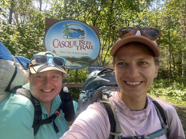
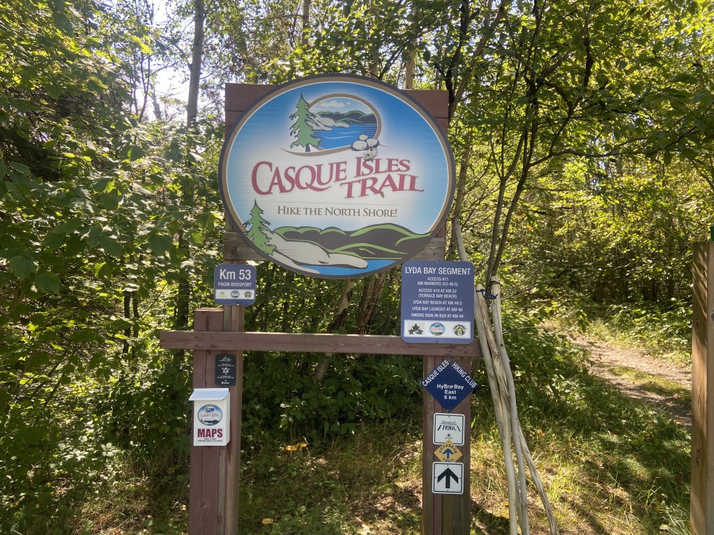
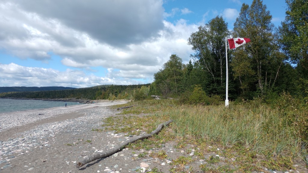
This past Memorial Day weekend I had the opportunity to check out a trail in Canada, the Casque Isle Trail. The Casque Isle was Trail was built in the 1970s and runs 53 km, linking the towns of Terrace Bay, Schreiber, and Rossport, Ontario.
I knew very little going into this hike – I had done some basic research and located some maps for the trail, but I was going into it blissfully trusting my experience and my very experienced friend who had invited me. She had done a lot of research into it and was concerned about one section in particular, but I was like, “it’s only 33 miles, how hard can it be?”
Quite hard turns out!
We left the Duluth/Two Harbors area after work on Thursday. Our original plan was to camp at a state park on the US side of the border, cross over into Canada on Friday, and make it up to our shuttle pickup by noonish. It would make for an early morning wake-up but, as long as customs didn’t take too long, it certainly could work. However, there were some severe storms forecasted to hit overnight in the area we were to be camping, so we considered the options: stick with the original plan, ride out the storms, and start our trip by packing up soaking wet gear early in the morning, or pivot from the plan by driving all the way up to Thunder Bay on Thursday night, find a cheap hotel, and have a dry and more relaxed Friday morning.
We opted for the second option, which meant that we’d be going through customs fairly late in the evening. It’s funny because even though we had nothing fishy about our trip I still got nervous going through customs. We had taken my car because it is in my name and had our passports, but there is something intimidating about driving up to the big lit up border crossing in the dark. I’ve done so many airport customs that you’d think it would be no big deal, but I had never actually been the person in the driver’s seat going into Canada (always a passenger).
Since we weren’t criminals and we managed to not act suspiciously (we truly were just going to hike in Canada) we made it through customs smoothly. Then, onwards to Thunder Bay and our spot we had booked to stay for the night: Prince Arthur Waterfront Hotel. Arriving we had to make a trip around the block because of construction but eventually figured out where we were supposed to park and to check in. It was quite late by now and moderately spooky – I was glad to have a travel buddy! By the main desk there was a poster for a paranormal activity conference that was to take place later in the fall at the hotel, but I chose not to research the ghost stories until after our stay.
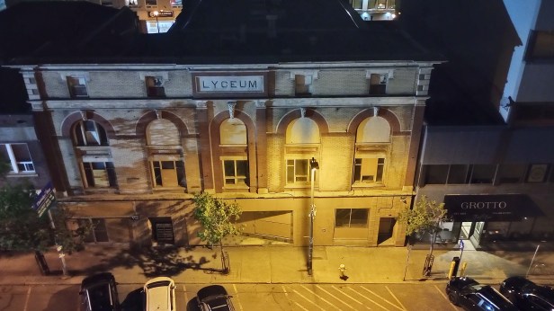
Check-in went fine, and we made it up to our room – really rooms! – as we ended up getting two adjoining rooms with one bathroom for the price of one. The décor was “historic” but everything was clean enough, and we got to watch the rain and wind lash the windows from inside a nice dry space instead of getting soaked in our tents. Deluxe!
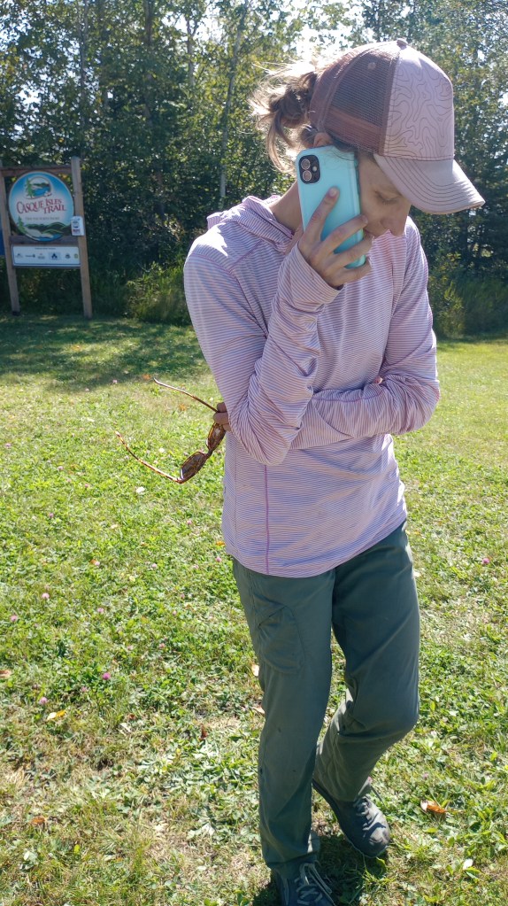
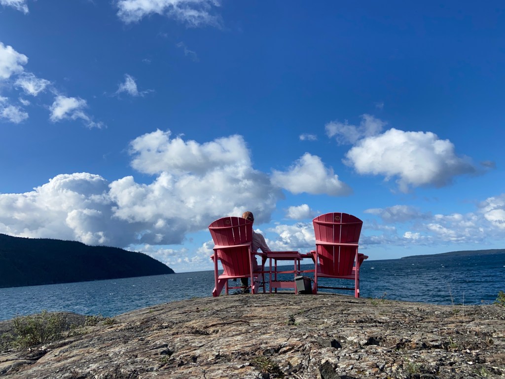
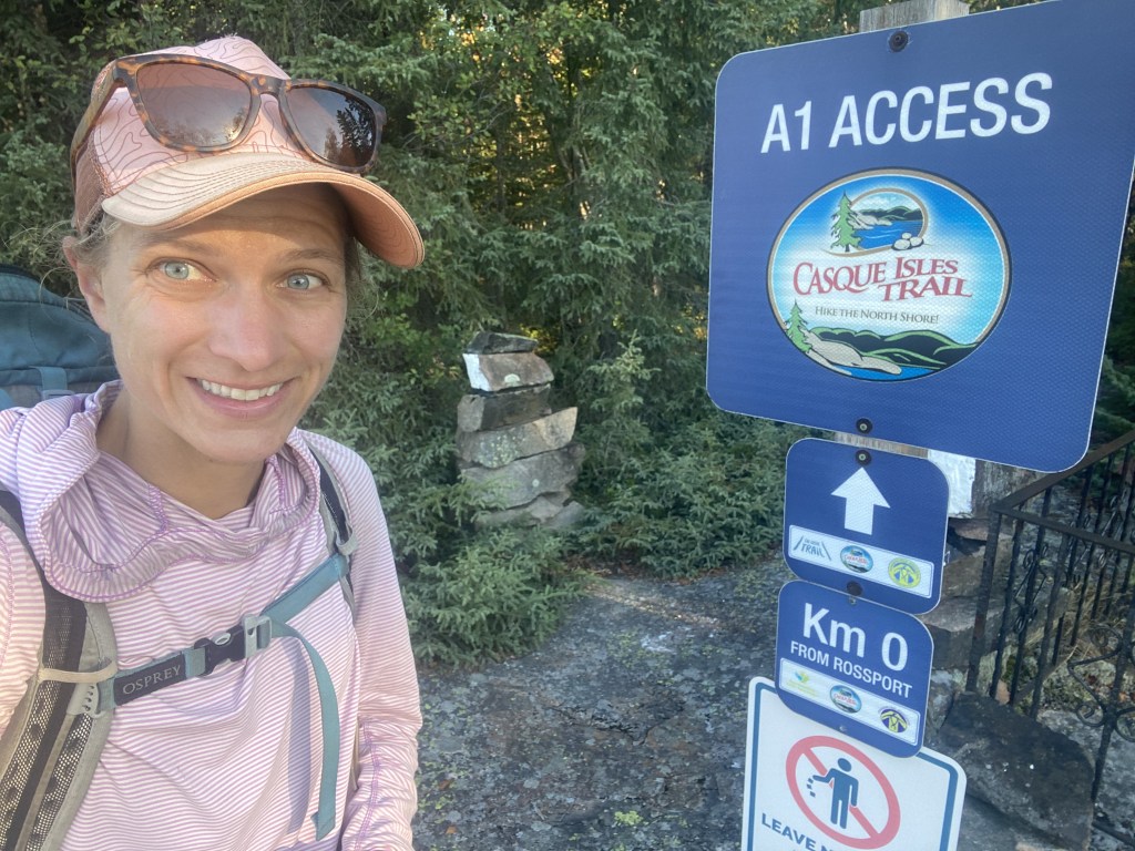
The next morning we found some local coffee and an ATM for some Canadian currency for our donation to the shuttle driver and then headed out of town. Our plan was to meet our shuttle at a local park in Rossport and have them bring us to the other end of the trail in Terrace Bay. It was a such a beautiful spot to hang out for a shuttle!
Our pick up time came and went and we started getting worried about our shuttle driver. We double and triple checked the correspondence and came up with contingency plans in case they never came. Finally I ended up calling the club who manages the trail and they had someone come out to get us – and their response time was so fast! Before we knew it we were being whisked away towards the northern terminus of the trail. Cell phones and international calling is handy sometimes.
Within a half an hour or so we were dropped at our starting point. We started off down the trail, and it started easy as an ATV-type trail. We would find as the kilometers clicked behind us that it wouldn’t stay this easy!
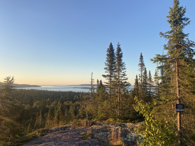
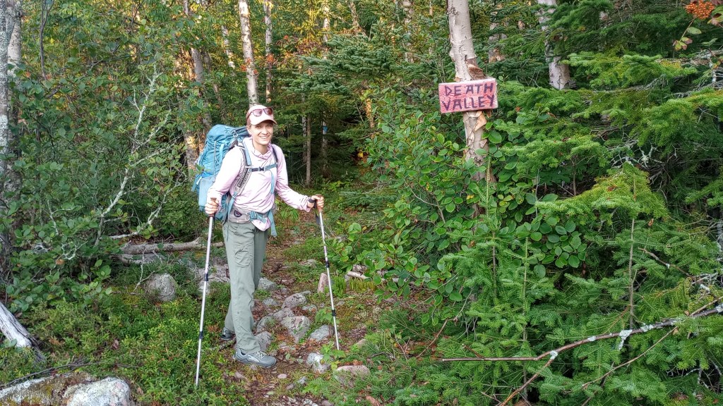
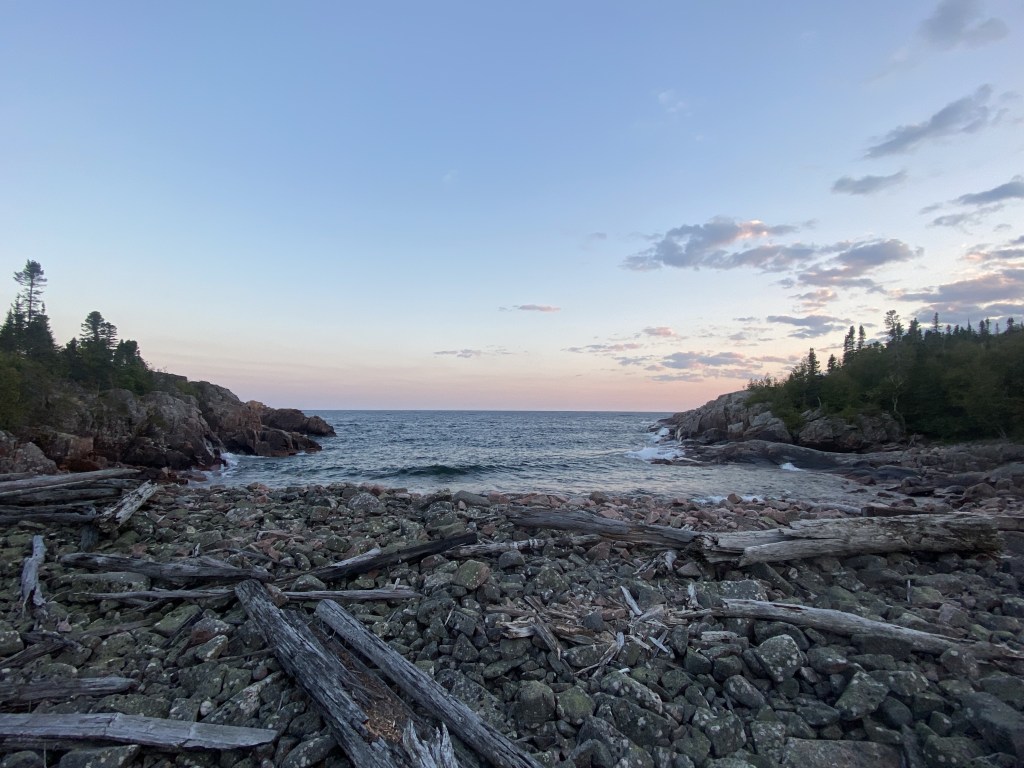
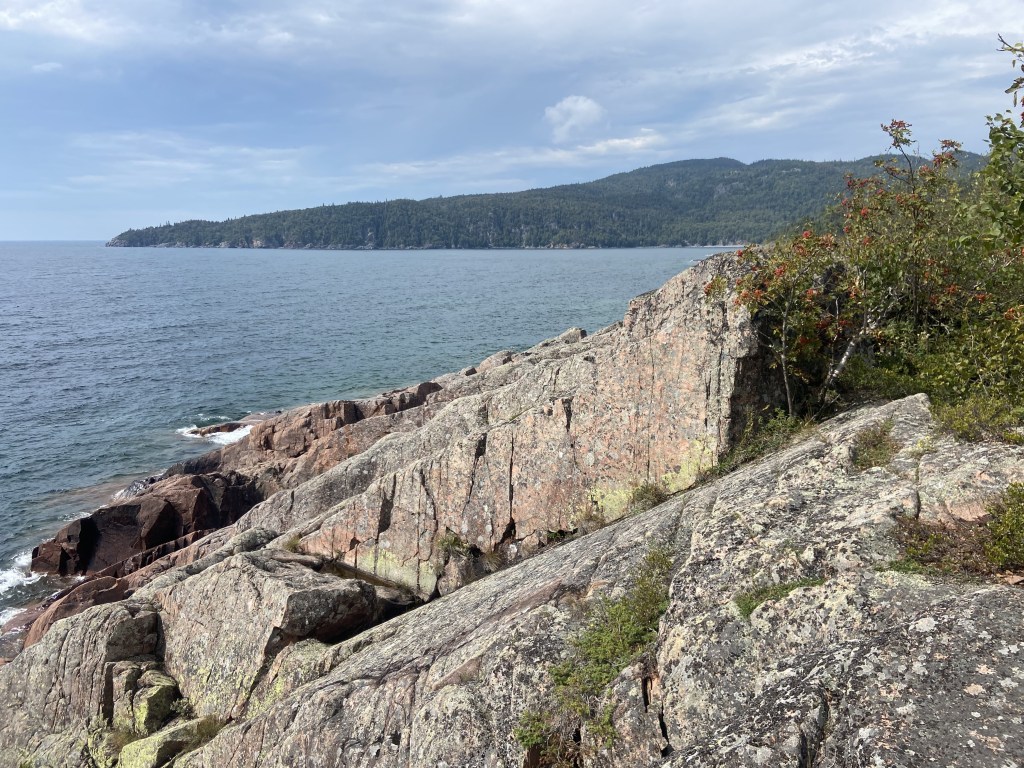
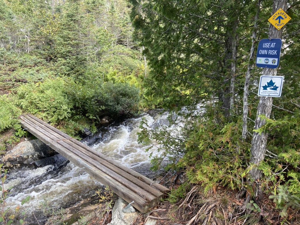
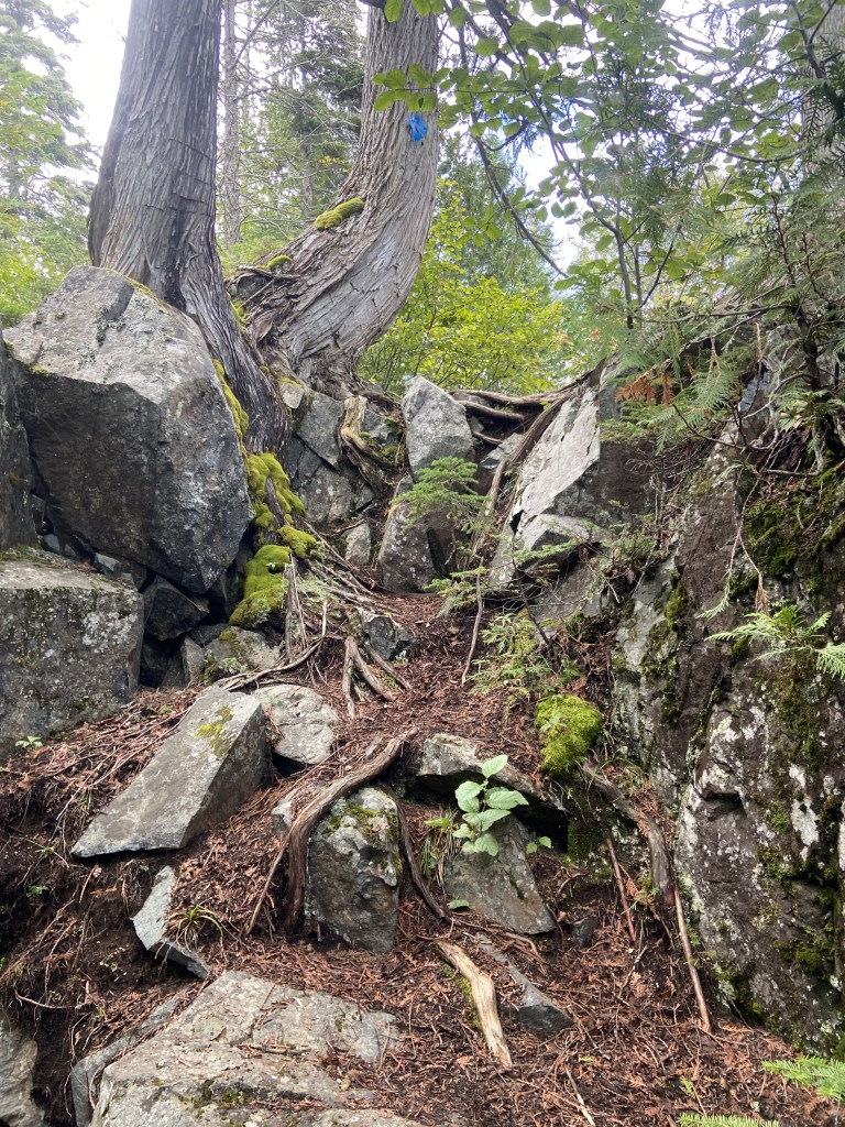
This trail felt reminiscent of the Pacific Northwest Trail for me, like it was PNT-lite. It had some similar feels to it, like the people who originally plotted both trails out had similar energy levels and goals. Energy being “high” and goals being “views”. Sometimes the trail would head across fields of football sized rocks, sometimes it would zig and go straight up a hill to a lookout before zagging and coming right back down, sometimes one would be hiking along and suddenly come to a scramble, or would walk into a boggy area. The most unique “hiking” occurred along the Death Valley section. This involved some moderately sketchy and exposed scrambling on slanty ancient lava flows, complete with giant fissures where, if you fell, I’m pretty sure your body would disappear and never be found. But there were great views too!

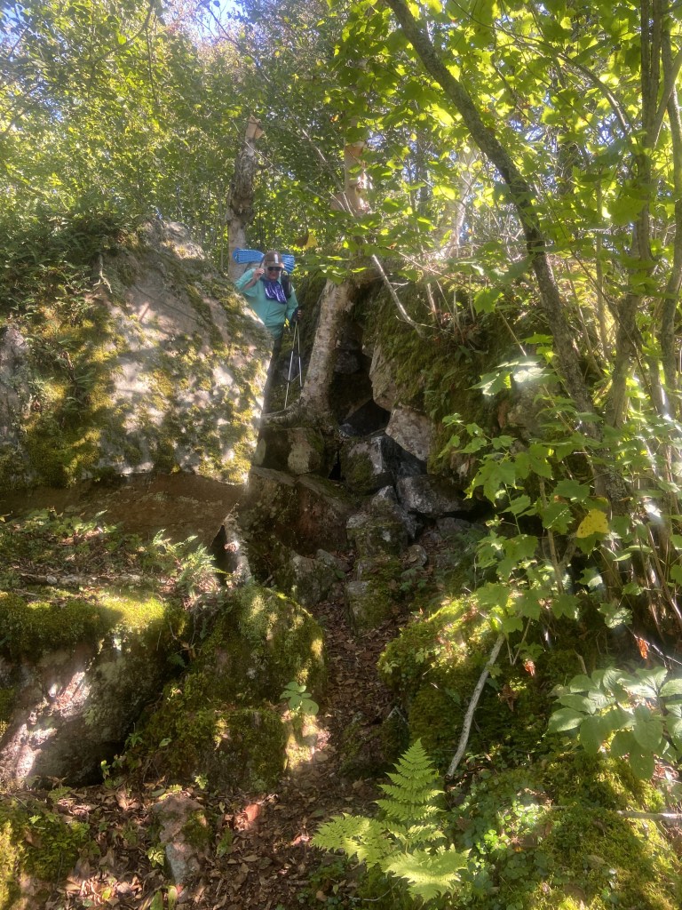
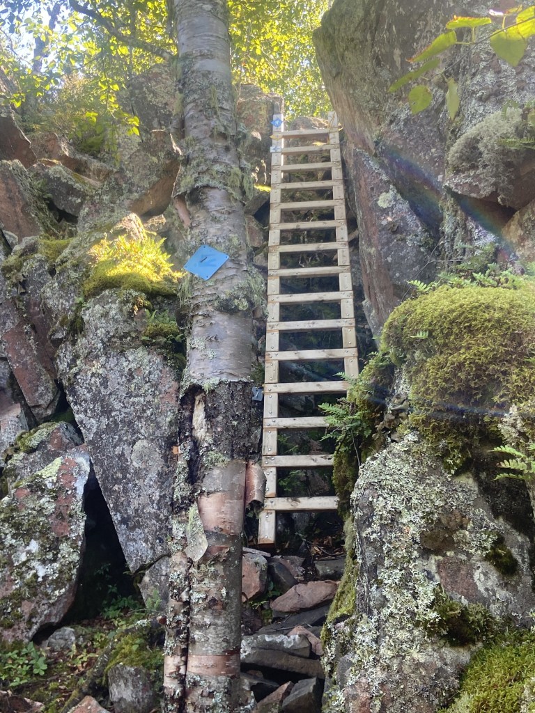
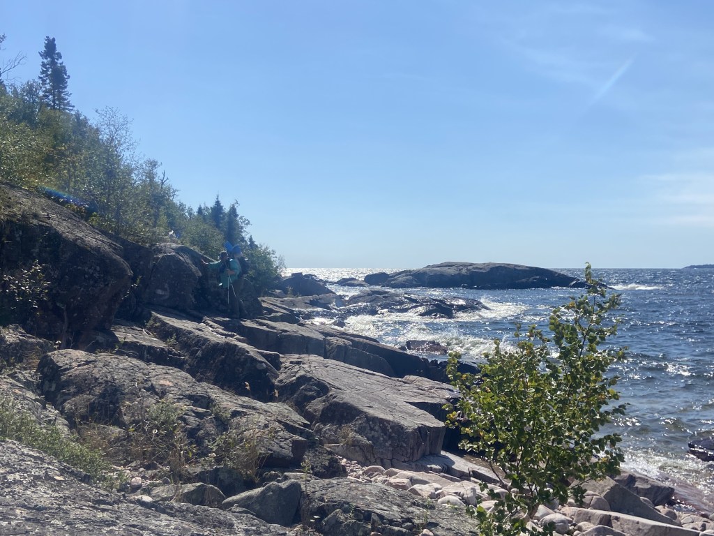
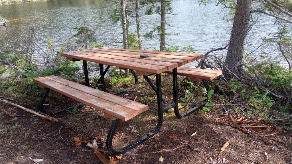
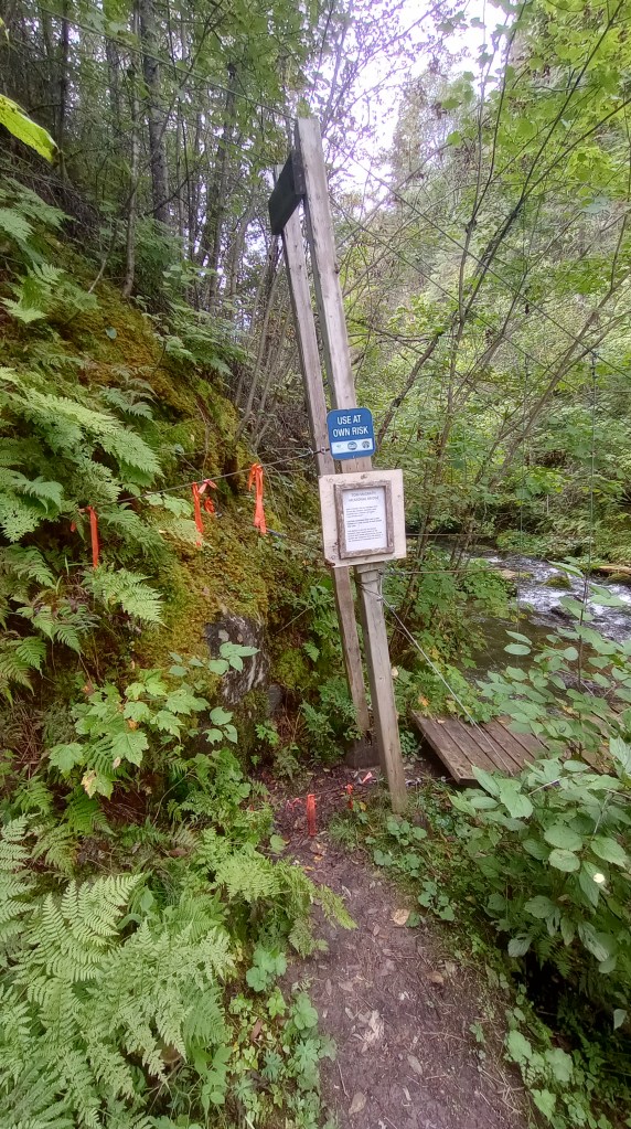
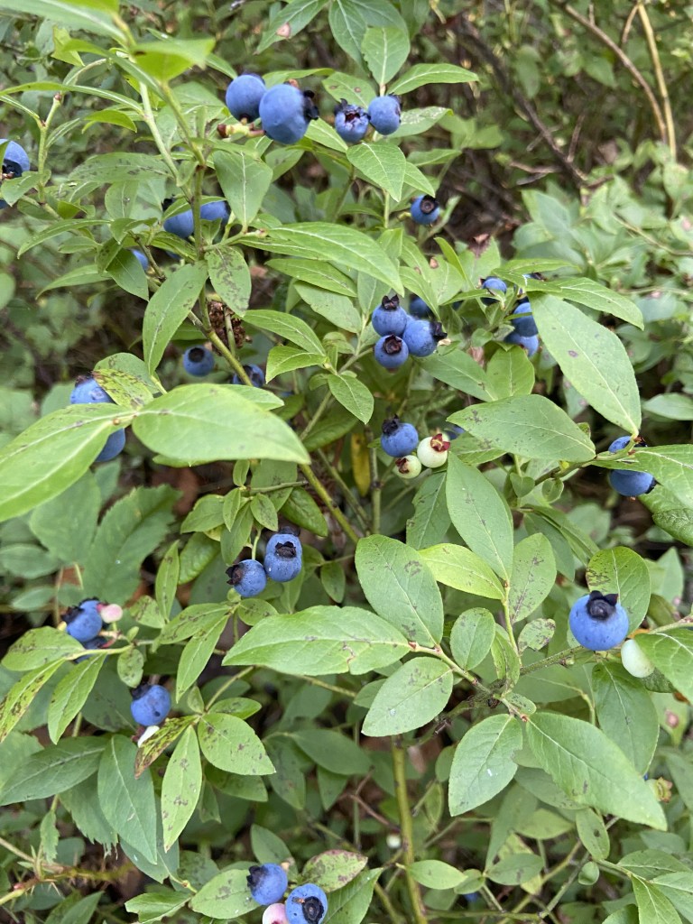
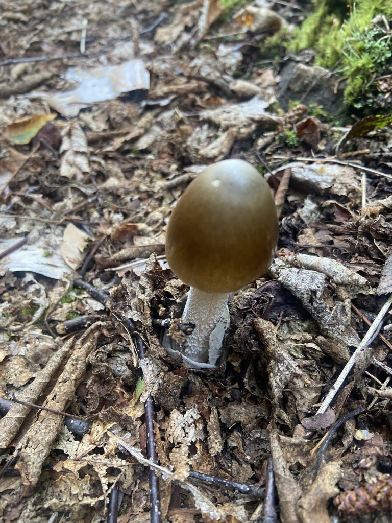
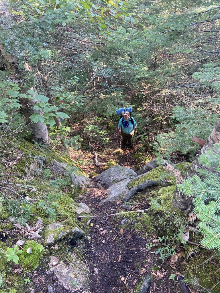
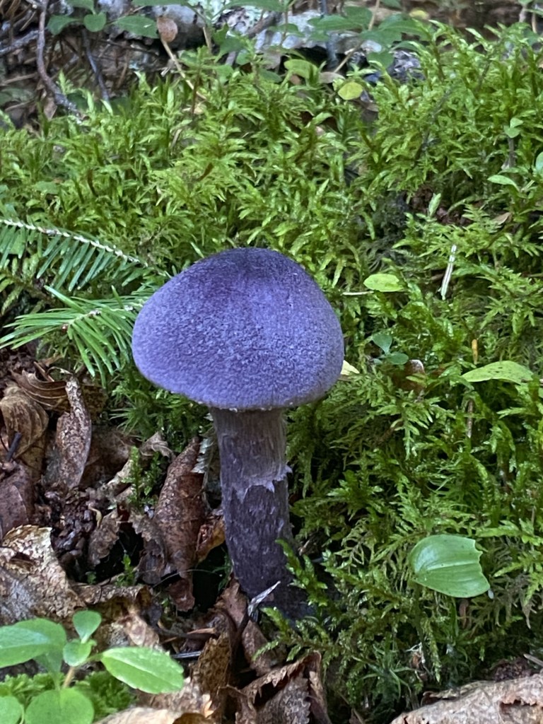
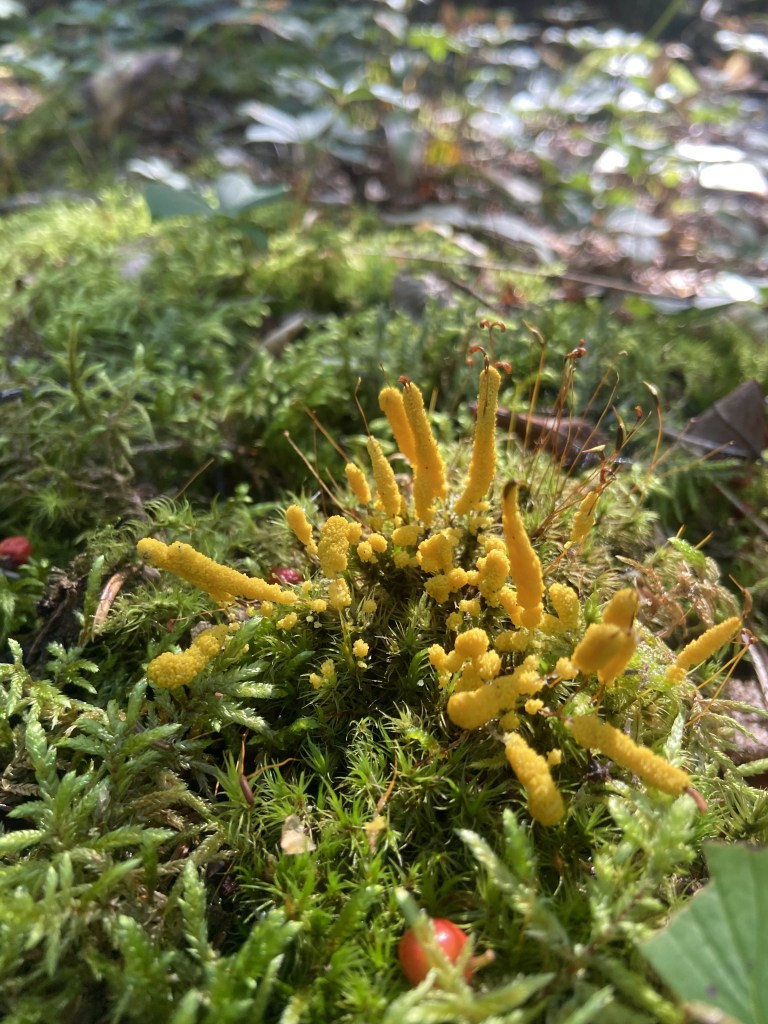
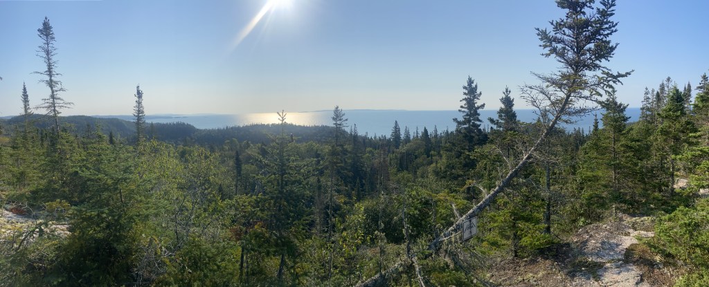
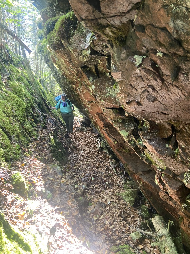
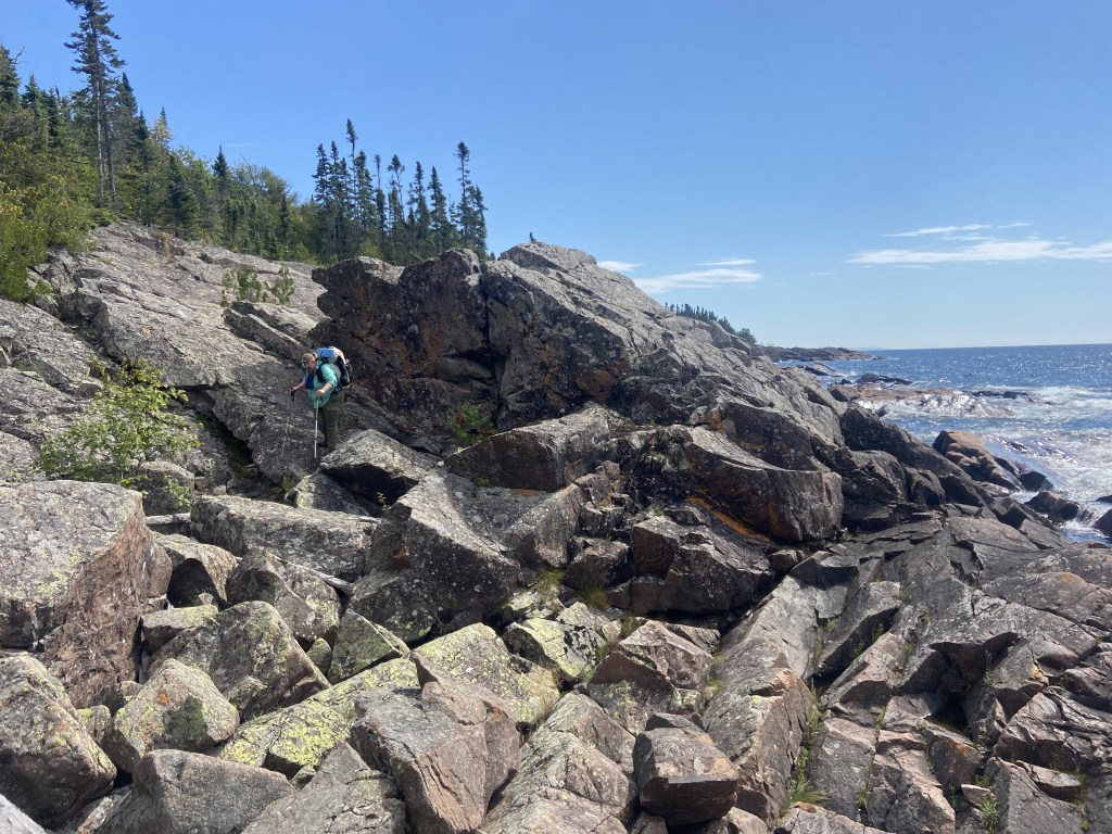
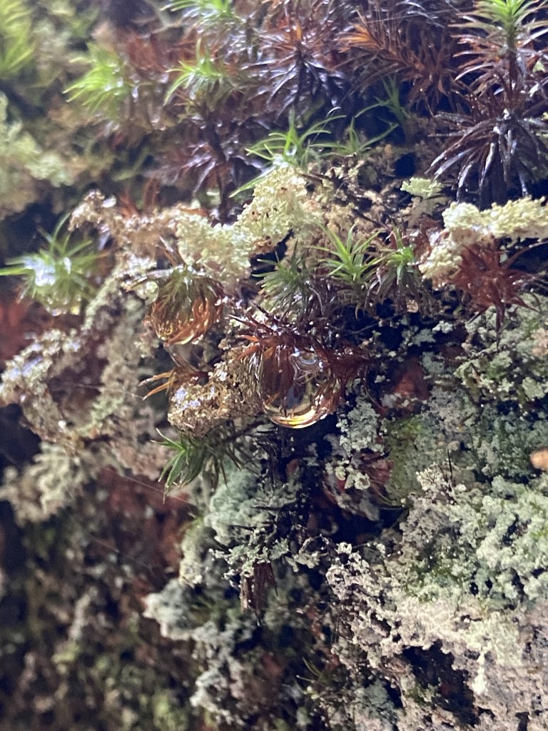
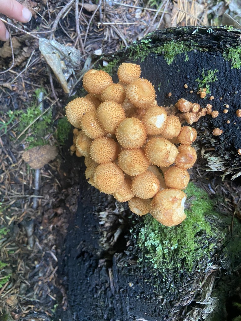
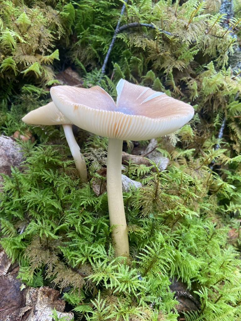
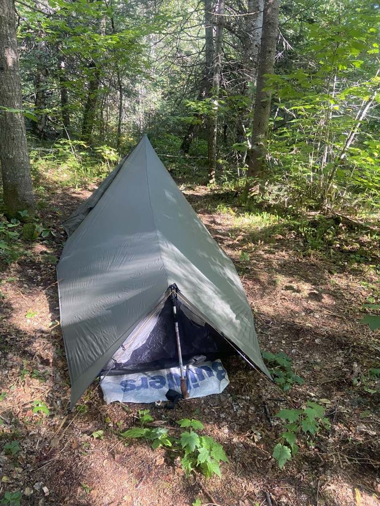
Unlike the PNT, however, it was quite well marked, consistently maintained, and easy to follow. Campsites mostly had some flat-ish spaces and they also had the fancy amenities of picnic tables and a bear locker. I didn’t see any signs of bears in the area, but I did see plenty of moose tracks. Some of the areas we went through definitely felt like fairies must live there because there was so much cool moss, lichens, and fungi. We also hit the trail at peak blueberry picking season. What a treat!
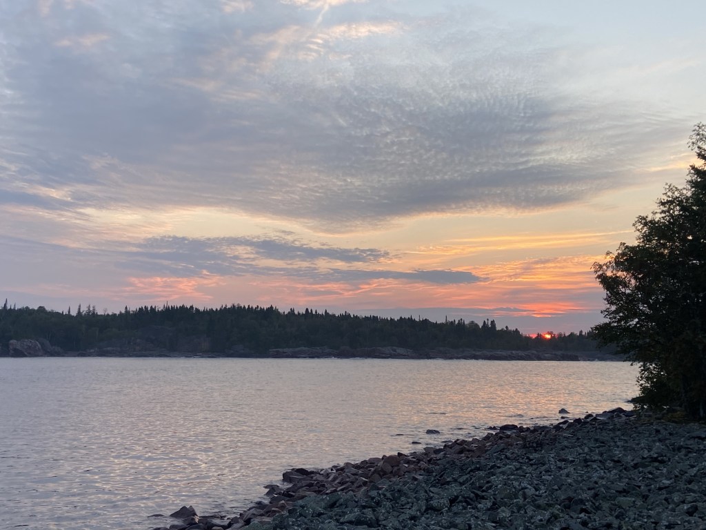
The ruggedness of the trail, the scrambles, and the elevation change meant that the trail itself took more time than we initially planned. Since we hadn’t made it as far as we hoped by the end of the second day, we ended up strategically splitting up, with me hiking on ahead to collect the car, with the plans of driving back up and picking up my friend the following day at an earlier trailhead. So, while we camped together for the first two nights, our last night was spent on our own. I woke before the sun was up on the last day to hike out to the car as the sun rose, and it was gorgeous. The car was at the southern terminus just as it was supposed to be and I was able to easily drive back up and rendezvous with Jo, just as planned. It’s nice when things work out! Then we made the long journey home.

This trip was wonderful in a lot of ways for me – I loved the physicality of it and how humbling it was for only being 33 miles long. The varied terrain, gorgeous views, time with a friend, and also time solo really rounded out a fabulous trip, even if it didn’t go as initially planned.
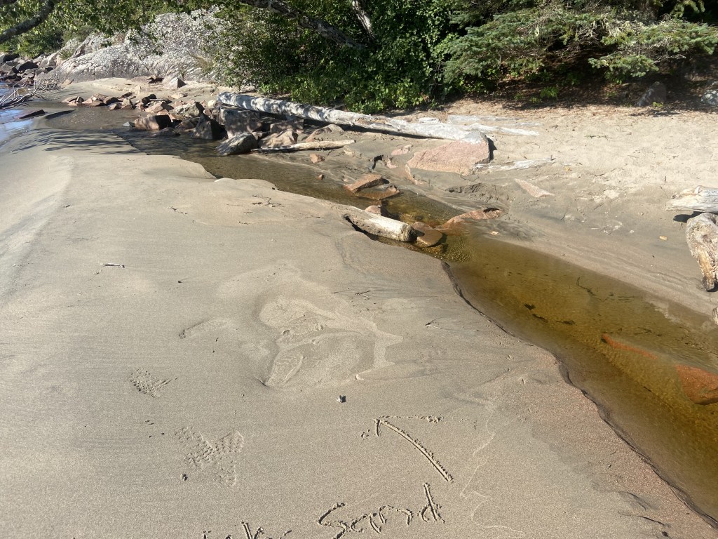
I would definitely hike this trail again, but if I did so I would make sure it was dry conditions (for the boggy sections and the sketchy scrambles), I would leave more time for hanging out at beaches and swimming, and I would probably lump it into more adventures in the area (it can be quite a long drive to get there). If you’re looking to hike this trail, I’d make sure you’re feeling confident with your rock scrambling skills, I’d reach out to the The Casque Isle Hiking Club for opportunities and information, and I’d pick up some maps by becoming a member of the Voyageur Trail Association.
The Terrace Bay Casque Isle Trail Page is full of good information and links too! Happy Trails 🙂

Super cool! Neat to hear more in-depth how the trip went. That Death Valley section sounds like it would be fun if stand alone and plenty of time to ‘enjoy’ it carefully! Thank you for sharing 🙂
LikeLike
Definitely! I thought it was a really fun trail, I just wanted to have more time for hanging out at the beach and going for a swim!
LikeLike